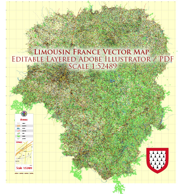
Limousin was an administrative region in central France. However, please note that administrative divisions in France have undergone changes, and Limousin might be part of a different administrative region or have a different status as of 2024. It is recommended to verify the latest information from a current and reliable source.
Vectormap.Net provide you with the most accurate and up-to-date vector maps in Adobe Illustrator, PDF and other formats, designed for editing and printing. Please read the vector map descriptions carefully.
If Limousin still exists as a distinct entity, here is a general overview of infrastructure considerations:
- Transportation:
- Roads: Limousin is likely to have an extensive road network connecting its cities and towns. Major highways and smaller roads would be essential for transportation.
- Railways: The region might have a railway network, facilitating both passenger and freight transport.
- Airports: Depending on its size and importance, Limousin may have airports that connect it to other regions and countries.
- Utilities:
- Electricity and Power: Limousin would have a power grid providing electricity to its residents and businesses.
- Water and Sewage: Infrastructure for clean water supply and sewage treatment is crucial for the well-being of the population.
- Communication:
- Telecommunications: Limousin, like other regions, would have a well-developed telecommunications network, including landline and mobile phone services, as well as internet connectivity.
- Healthcare:
- Hospitals and Clinics: The region is likely to have healthcare facilities such as hospitals, clinics, and medical centers to serve the local population.
- Education:
- Schools and Universities: Educational infrastructure would include schools for primary and secondary education, as well as universities or higher education institutions.
- Cultural and Recreational Facilities:
- Cultural Centers and Museums: Limousin may have cultural institutions, museums, and art galleries promoting local heritage.
- Sports Facilities: Infrastructure for sports and recreation, including stadiums and sports complexes, might be present.
- Economic Infrastructure:
- Industrial Zones: Areas designated for industrial activities and manufacturing.
- Commercial Centers: Business districts and commercial areas where retail and other businesses operate.
- Public Services:
- Government Offices: Administrative infrastructure, including government offices and public services.
Remember that the specific details and developments might have changed after my last update, so it’s advisable to consult current sources for the latest and most accurate information regarding Limousin’s infrastructure.


 Author: Kirill Shrayber, Ph.D. FRGS