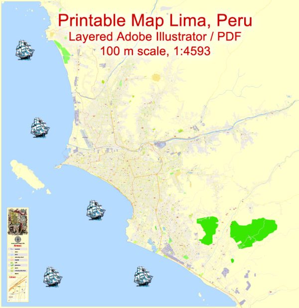
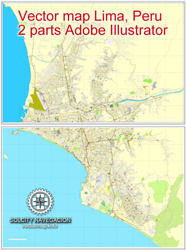
Lima is divided into numerous districts, each with its own unique characteristics, culture, and demographics. Here are descriptions of some of the key districts and neighborhoods in Lima:
- Miraflores:
- Miraflores is one of Lima’s most upscale and popular districts, known for its beautiful parks, coastal cliffs, and vibrant nightlife.
- The district features upscale shopping malls, fine dining restaurants, and trendy cafes.
- Parque Kennedy is a central park surrounded by shops and cafes, often hosting cultural events.
- Barranco:
- Barranco is an artistic and bohemian district, famous for its colorful colonial architecture, art galleries, and lively atmosphere.
- The district is known for its vibrant nightlife, with numerous bars, clubs, and live music venues.
- Barranco is located along the coast and has a charming beach area.
- San Isidro:
- San Isidro is a predominantly residential and business district with upscale neighborhoods.
- It is home to corporate offices, embassies, and luxury hotels.
- El Olivar, a historic olive grove, is a popular park in San Isidro.
- Lince:
- Lince is a centrally located district with a mix of residential and commercial areas.
- It is known for its traditional markets, providing a glimpse into local daily life.
- Lince has a variety of dining options, from local eateries to international cuisine.
- Surco (Santiago de Surco):
- Santiago de Surco is a large district with both residential and commercial areas.
- It features shopping centers, parks, and a mix of housing options.
- The district has a diverse culinary scene, offering a range of dining experiences.
- Jesus Maria:
- Jesus Maria is centrally located and known for hosting various events and festivals.
- It is home to the Campo de Marte, a large park where cultural events and concerts take place.
- The district has a mix of residential and commercial areas.
- San Borja:
- San Borja is a residential district known for its green spaces and parks.
- It houses the National Theater and the National Library.
- The district is characterized by quiet streets and family-friendly neighborhoods.
- La Molina:
- La Molina is an affluent residential district located in the eastern part of Lima.
- It features large houses, private schools, and shopping centers.
- The district is known for its suburban atmosphere and recreational areas.
- Callao:
- Callao is the port district of Lima and an important industrial and commercial area.
- It has historical sites like the Real Felipe Fortress and La Punta, a seaside neighborhood.
- Jorge Chávez International Airport is located in Callao.
- Chorrillos:
- Chorrillos is a coastal district with a mix of residential and recreational areas.
- The district has beaches, parks, and seafood restaurants.
- It is known for its historical lighthouse and fishing traditions.
These descriptions provide a general overview of some of the districts and neighborhoods in Lima, each contributing to the city’s diverse and dynamic character.
Vectormap.Net provide you with the most accurate and up-to-date vector maps in Adobe Illustrator, PDF and other formats, designed for editing and printing. Please read the vector map descriptions carefully.


 Author: Kirill Shrayber, Ph.D. FRGS