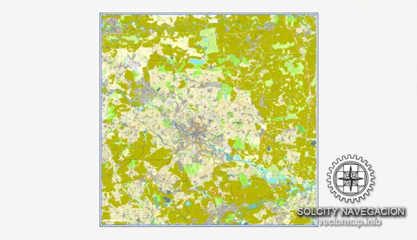
Leeds is divided into various districts and neighborhoods, each with its unique character, history, and amenities. Vectormap.Net provide you with the most accurate and up-to-date vector maps in Adobe Illustrator, PDF and other formats, designed for editing and printing. Please read the vector map descriptions carefully. Here’s an overview of some notable districts and neighborhoods in Leeds:
- City Centre:
- The heart of Leeds, the city center is a bustling area with a mix of shopping, dining, and entertainment options.
- Key areas include Briggate, a pedestrianized shopping street, and Millennium Square, which hosts events and outdoor activities.
- The financial district is also located in the city center, reflecting Leeds’ status as a major financial hub.
- Holbeck:
- Located to the south of the city center, Holbeck has a mix of residential and industrial areas.
- The area is undergoing regeneration, and developments like Granary Wharf bring modern apartments, offices, and leisure facilities to the waterfront.
- Headingley:
- A popular suburb to the northwest of the city center, Headingley is known for its vibrant student population.
- Home to Headingley Stadium, a major venue for cricket and rugby.
- The area has a range of shops, restaurants, and bars catering to both residents and students.
- Chapel Allerton:
- Northeast of the city center, Chapel Allerton is a diverse and trendy suburb.
- Known for its independent shops, cafes, and a thriving arts scene.
- A residential area with a mix of Victorian and Edwardian architecture.
- Roundhay:
- Located to the northeast, Roundhay is a more affluent residential area.
- Home to Roundhay Park, one of the largest urban parks in Europe, offering lakes, woodlands, and gardens.
- A family-friendly neighborhood with good schools and recreational facilities.
- Horsforth:
- A suburb to the northwest of Leeds, Horsforth has a mix of residential and commercial areas.
- Horsforth Hall Park is a popular green space, and the area has good transport links.
- Armley:
- West of the city center, Armley has a mix of residential and industrial areas.
- Armley Mills Industrial Museum showcases Leeds’ industrial heritage.
- The area has parks and local amenities for residents.
- Beeston:
- Located to the south of the city center, Beeston is a diverse and multicultural neighborhood.
- The area has a mix of housing, shopping, and community facilities.
- Cross Flatts Park is a green space popular for recreation.
- Kirkstall:
- To the west of the city center, Kirkstall has a mix of residential and commercial areas.
- Kirkstall Abbey, a historic Cistercian monastery, is a major landmark and park.
- The area has a blend of traditional and modern housing.
- Seacroft:
- Situated to the east of the city center, Seacroft is one of the largest council estates in Leeds.
- The area has undergone regeneration efforts, including the construction of new housing and community facilities.
These are just a few examples, and Leeds has many other neighborhoods and districts, each contributing to the city’s diverse and dynamic character. The city’s continuous development and regeneration ensure a variety of living environments for its residents.


 Author: Kirill Shrayber, Ph.D.