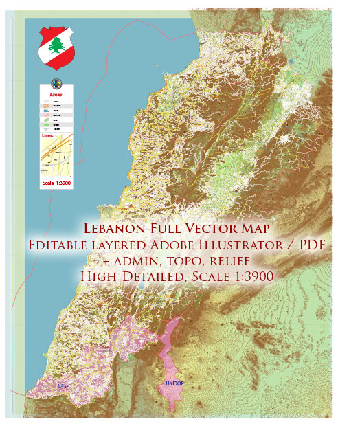
An overview of Lebanon’s infrastructure. Vectormap.Net provide you with the most accurate and up-to-date vector maps in Adobe Illustrator, PDF and other formats, designed for editing and printing. Please read the vector map descriptions carefully. Here’s an overview of Lebanon’s infrastructure:
- Transportation:
- Roads: Lebanon has an extensive road network connecting major cities and regions. However, road conditions may vary, and maintenance has been a challenge.
- Public Transport: Beirut has a public bus system, and there are shared taxis and private minibusses operating in various parts of the country.
- Airports:
- Rafic Hariri International Airport: Located in Beirut, it is the primary international gateway to Lebanon. It serves as a hub for Middle East Airlines, the national carrier.
- Ports:
- Ports of Beirut and Tripoli: These are the major seaports facilitating maritime trade. The Port of Beirut is the largest and most significant for the country’s imports and exports.
- Energy:
- Electricity: Lebanon has faced challenges in providing consistent and reliable electricity. Power outages have been common, and the country has relied on both government and private generators to meet its energy needs.
- Renewable Energy: Efforts have been made to explore renewable energy sources, but progress has been slow.
- Telecommunications:
- Mobile and Internet: Lebanon has a well-developed telecommunications sector. Mobile phone usage is widespread, and the country has seen growth in internet penetration. However, the quality and speed of internet services may vary.
- Water and Sanitation:
- Water Supply: Lebanon has faced challenges related to water scarcity and quality. Access to clean water can be an issue in certain areas.
- Sanitation: Urban areas generally have adequate sanitation infrastructure, but there may be issues in some rural areas.
- Healthcare:
- Hospitals and Medical Facilities: Lebanon has a relatively well-developed healthcare system, particularly in urban centers. However, there have been challenges, including during times of political instability and economic crisis.
- Education:
- Schools and Universities: Lebanon has a number of universities and educational institutions. The quality of education can vary, and access may be affected by economic conditions.
- Housing:
- Urban and Rural Housing: Lebanon has a mix of urban and rural housing. Beirut, in particular, has a range of residential structures, from modern buildings to traditional architecture.
- Tourism Infrastructure:
- Hotels and Tourist Facilities: Lebanon has a well-developed tourism sector, with hotels and facilities catering to both domestic and international tourists. Tourist attractions include historical sites, cultural landmarks, and natural wonders.
It’s important to note that Lebanon has faced significant challenges, including economic crises and political instability, which can impact the maintenance and development of infrastructure. Additionally, events subsequent to my last update may have influenced the current state of Lebanon’s infrastructure.


 Author: Kirill Shrayber, Ph.D. FRGS