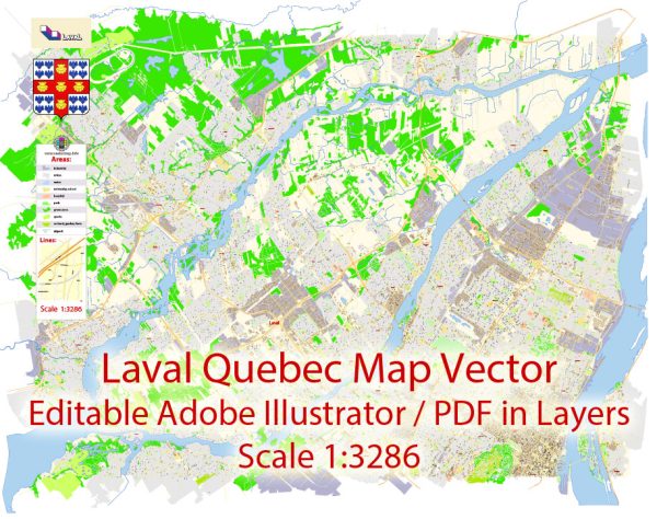
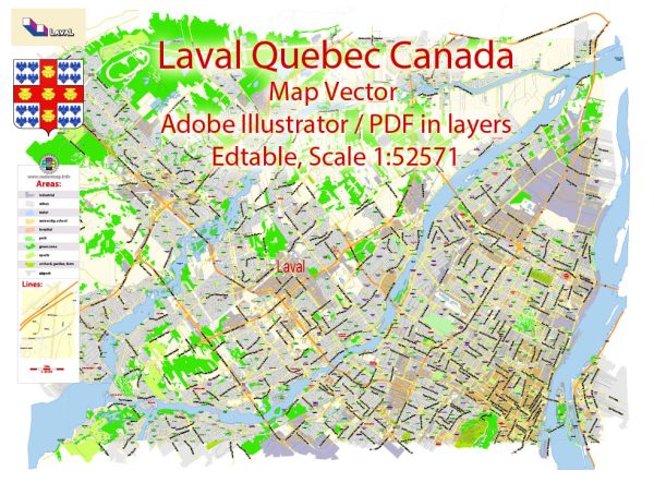
Laval, Quebec, is divided into several boroughs and neighborhoods, each with its own unique character and features. Vectormap.Net provide you with the most accurate and up-to-date vector maps in Adobe Illustrator, PDF and other formats, designed for editing and printing. Please read the vector map descriptions carefully. Here are some of the main districts and neighborhoods in Laval:
- Chomedey:
- One of the largest and most populous areas in Laval.
- Features a mix of residential, commercial, and industrial zones.
- Home to Carrefour Laval, one of the largest shopping malls in Quebec.
- Sainte-Dorothée:
- Known for its suburban atmosphere and residential neighborhoods.
- Features parks, schools, and recreational facilities.
- Located along the Rivière des Prairies, offering waterfront views.
- Fabreville:
- A predominantly residential area with a mix of single-family homes and some commercial spaces.
- Home to various parks and green spaces.
- Saint-Vincent-de-Paul:
- Features a mix of residential and industrial areas.
- The district includes the Centre de la Nature, a large park offering walking trails, gardens, and lakes.
- Laval-des-Rapides:
- Located in the southern part of Laval.
- Features a mix of residential and commercial areas.
- Close to the Cartier metro station and the Collège Montmorency.
- Duvernay:
- Known for its suburban character and residential neighborhoods.
- Features parks, schools, and local amenities.
- Auteuil:
- A residential area with a mix of housing types.
- Offers various parks and recreational facilities.
- Pont-Viau:
- Located in the southwestern part of Laval.
- Features a mix of residential and commercial areas.
- Home to the Place Bell arena and entertainment complex.
- Vimont:
- A diverse district with a mix of residential, commercial, and industrial zones.
- Home to various schools, parks, and community centers.
- Laval-Ouest:
- Features a mix of suburban and rural areas.
- Known for its parks, green spaces, and proximity to the Ottawa River.
These descriptions provide a general overview of the main districts and neighborhoods in Laval.


 Author: Kirill Shrayber, Ph.D.