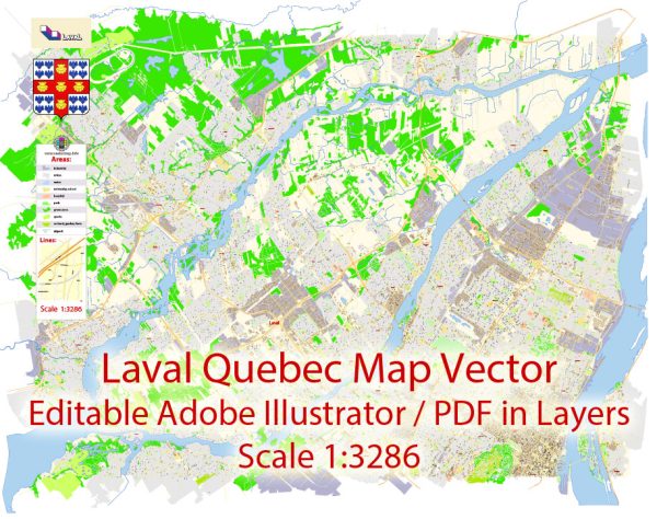
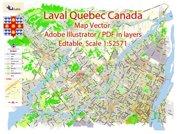
A general overview of Laval, Quebec, Canada. Vectormap.Net provide you with the most accurate and up-to-date vector maps in Adobe Illustrator, PDF and other formats, designed for editing and printing. Please read the vector map descriptions carefully.
Laval is a city located in southwestern Quebec, Canada, on the island of Île Jésus, just north of Montreal. It is the third-largest city in the province, after Montreal and Quebec City. Here’s a detailed description of Laval:
- Geography and Location:
- Laval is situated on the north shore of the Saint Lawrence River and is part of the greater Montreal metropolitan area.
- The city is characterized by a mix of urban, suburban, and rural areas, featuring parks, residential neighborhoods, and commercial districts.
- Demographics:
- Laval has a diverse population, with a mix of different ethnicities and cultures.
- The city is known for its multicultural atmosphere, reflecting the broader diversity of the Montreal metropolitan region.
- Economy:
- Laval has a robust and diversified economy with a focus on technology, pharmaceuticals, retail, and manufacturing.
- The city hosts various industrial parks and commercial zones that contribute significantly to its economic growth.
- Education:
- Laval is home to several educational institutions, including the Université de Sherbrooke’s Laval campus and the Collège Montmorency.
- The city’s education system provides a range of options from primary to post-secondary education.
- Transportation:
- Laval is well-connected in terms of transportation, with major highways, bridges, and public transit options linking it to Montreal and other parts of the region.
- Public transportation includes buses and the Montreal Metro’s Orange Line extension, which reaches into Laval.
- Recreation and Culture:
- The city offers various recreational facilities, parks, and cultural venues.
- Nature enthusiasts can enjoy places like Centre de la Nature, a large park featuring walking trails, lakes, and gardens.
- Laval is home to cultural events, festivals, and a range of entertainment options, reflecting its vibrant and dynamic community.
- Infrastructure:
- Laval has modern infrastructure, including healthcare facilities, shopping centers, and recreational complexes.
- The city continues to invest in development projects to enhance its infrastructure and overall quality of life for residents.
- Languages:
- While French is the official language of Laval and the province of Quebec, you will likely find a diverse linguistic landscape with residents speaking multiple languages.


 Author: Kirill Shrayber, Ph.D. FRGS