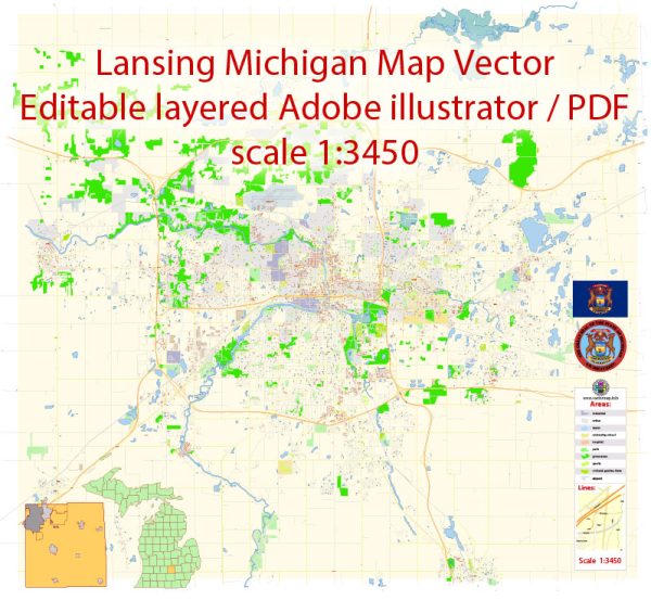
Lansing, Michigan, consists of several districts and neighborhoods, each with its own unique characteristics and offerings. Vectormap.Net provide you with the most accurate and up-to-date vector maps in Adobe Illustrator, PDF and other formats, designed for editing and printing. Please read the vector map descriptions carefully. Here are descriptions of some of the notable districts and neighborhoods in Lansing:
- Downtown Lansing:
- Description: Downtown Lansing is the central business and government district. It’s home to the Michigan State Capitol, government offices, and cultural institutions. You’ll find a mix of historic and modern architecture, including the Lansing City Market, a variety of restaurants, and shops. The district is also a hub for events and festivals.
- Old Town:
- Description: Old Town is a historic district known for its charming atmosphere and artistic community. It features well-preserved Victorian-era buildings, art galleries, boutiques, and unique eateries. Old Town hosts various events and festivals throughout the year, attracting both residents and visitors.
- Eastside Neighborhood:
- Description: The Eastside Neighborhood is a residential area characterized by tree-lined streets and a mix of historic and newer homes. It’s a diverse community with parks, schools, and local businesses. The neighborhood fosters a strong sense of community, and residents enjoy easy access to amenities.
- Westside Neighborhood:
- Description: Similar to the Eastside, the Westside Neighborhood is a residential area with a mix of housing options. Parks, schools, and community centers contribute to the family-friendly atmosphere. The neighborhood has its own local businesses, making it a self-sufficient community.
- REO Town:
- Description: Located just south of downtown, REO Town is a district with a mix of industrial and commercial spaces. It has undergone revitalization efforts in recent years, becoming a hub for arts, culture, and small businesses. The REO Town Marketplace and unique venues make it an emerging destination.
- Michigan State University (MSU) Campus:
- Description: The MSU campus is a major influence on Lansing’s culture and economy. It encompasses a vast area with academic buildings, sports facilities, and student housing. The campus contributes to a lively atmosphere with cultural events, sports activities, and a diverse student population.
- South Lansing:
- Description: South Lansing is a mix of residential, commercial, and industrial areas. It offers a range of housing options and is known for the presence of educational institutions like Lansing Community College. The district is also home to parks, shopping centers, and community services.
- Groesbeck Area:
- Description: The Groesbeck Area is a residential neighborhood with schools, parks, and community facilities. It has a suburban feel with a mix of single-family homes. The community is known for its family-oriented environment and access to amenities.
It’s important to note that neighborhood dynamics can change, and new developments may occur over time. Additionally, residents often form strong communities within these neighborhoods, contributing to the overall character of Lansing. For the most accurate and up-to-date information, consider checking with local sources or community organizations.


 Author: Kirill Shrayber, Ph.D. FRGS