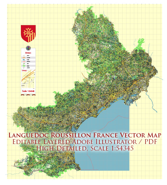
A general overview of the infrastructure in the Languedoc-Roussillon region. Vectormap.Net provide you with the most accurate and up-to-date vector maps in Adobe Illustrator, PDF and other formats, designed for editing and printing. Please read the vector map descriptions carefully.
Transportation:
- Roads and Highways: Languedoc-Roussillon had a well-developed road network with highways connecting major cities and towns. The A9 (La Languedocienne) is a major north-south highway connecting Spain to the French Riviera, passing through the region.
- Railway Network: The region was served by a railway network connecting key cities. Major train stations include Montpellier, Nîmes, Perpignan, and others.
- Airports: Languedoc-Roussillon had several airports catering to both domestic and international flights. Montpellier-Méditerranée Airport, Nîmes-Alès-Camargue-Cévennes Airport, and Perpignan-Rivesaltes Airport were among the notable ones.
Utilities:
- Energy: The region had a mix of energy sources, including nuclear, hydroelectric, and renewable energy. France, in general, relies significantly on nuclear power for electricity generation.
- Water and Sanitation: Infrastructure for water supply and sanitation was well-established in urban areas. Rural areas might have different systems, including private wells.
Telecommunications:
- Internet and Mobile Services: Languedoc-Roussillon had access to modern telecommunication services, including high-speed internet, mobile networks, and broadband services. Urban areas typically had more advanced infrastructure compared to rural areas.
Education and Healthcare:
- Educational Institutions: The region had universities, research institutions, and a network of schools providing education at various levels. Montpellier, being a major city, was known for its educational institutions.
- Healthcare Facilities: Hospitals, clinics, and healthcare centers were available to serve the population. Larger cities had more advanced medical facilities.
Economic Infrastructure:
- Industrial Zones: The region had industrial zones supporting various sectors, including agriculture, manufacturing, and services.
- Ports: The Mediterranean coastline facilitated maritime activities, and there were ports, such as the Port of Sète, contributing to trade and transportation.
Tourism Infrastructure:
- Accommodation: The region had a range of accommodation options, including hotels, resorts, and vacation rentals, to cater to the tourism industry.
- Tourist Attractions: Languedoc-Roussillon’s tourism infrastructure included well-maintained historical sites, natural attractions, and cultural venues.
Keep in mind that the status of infrastructure can change, and developments may have occurred since my last update. For the latest and most accurate information, it’s advisable to consult more recent sources or official regional and national authorities.


 Author: Kirill Shrayber, Ph.D. FRGS