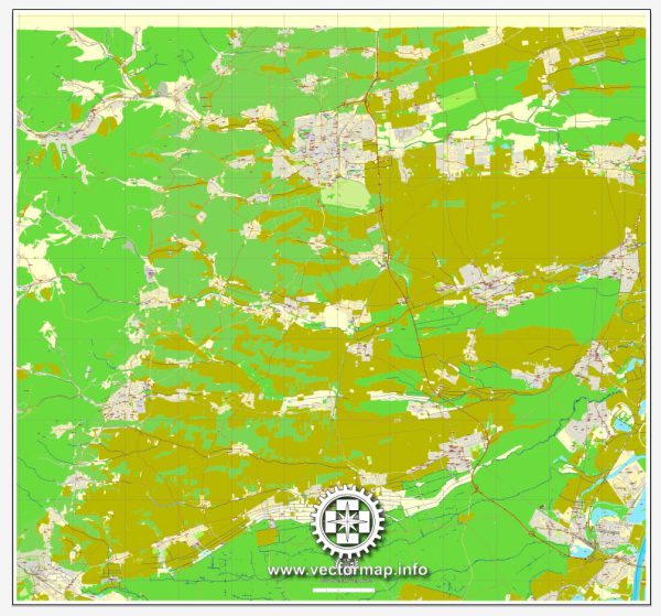
Landau in der Pfalz is organized into various districts and neighborhoods, each with its own character and features. Vectormap.Net provide you with the most accurate and up-to-date vector maps in Adobe Illustrator, PDF and other formats, designed for editing and printing. Please read the vector map descriptions carefully. Here’s a general overview of some districts and neighborhoods in Landau:
- Innenstadt (City Center):
- This is the heart of Landau and includes the historic core with landmarks like the Rathaus (City Hall), Stiftskirche (Collegiate Church), and Landauer Schloss (Landau Castle).
- The Innenstadt is characterized by narrow medieval streets, vibrant squares, and a mix of shops, cafes, and restaurants.
- Nussdorf:
- Located to the northwest of the city center, Nussdorf is a residential area with a mix of housing types, including single-family homes and apartment buildings.
- The district has local amenities like schools, parks, and shopping options, providing a comfortable living environment.
- Godramstein:
- Situated to the northeast of Landau, Godramstein is known for its vineyards and rural charm.
- The district offers a mix of housing, including traditional German houses and modern residences. It provides a quieter lifestyle compared to the city center.
- Mörzheim:
- Mörzheim is located to the southeast of the city center and is known for its agricultural landscape.
- The district features a blend of residential areas and open spaces. It provides a more suburban atmosphere while still being close to the amenities of Landau.
- Queichheim:
- This district lies to the southwest of the city center, along the Queich River.
- Queichheim is characterized by a mix of residential and commercial areas. It has parks and recreational spaces, making it an attractive place for families.
- Weststadt:
- The western part of Landau, known as Weststadt, is a predominantly residential area with various housing options.
- It includes schools, parks, and local businesses, offering residents a convenient and comfortable living environment.
- Oststadt:
- The eastern part of Landau, known as Oststadt, is another residential area with schools, parks, and local amenities.
- It provides a diverse range of housing options and contributes to the overall residential landscape of the city.
- Arzheim:
- Located to the south of Landau, Arzheim is known for its vineyards and agricultural activities.
- It offers a mix of rural and suburban living, with access to the natural beauty of the surrounding Palatinate region.
These descriptions provide a general overview of some districts and neighborhoods in Landau. For more specific and up-to-date information, it’s recommended to consult local authorities or residents and explore recent sources like city planning documents and community websites.


 Author: Kirill Shrayber, Ph.D. FRGS