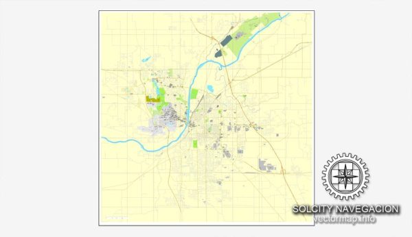
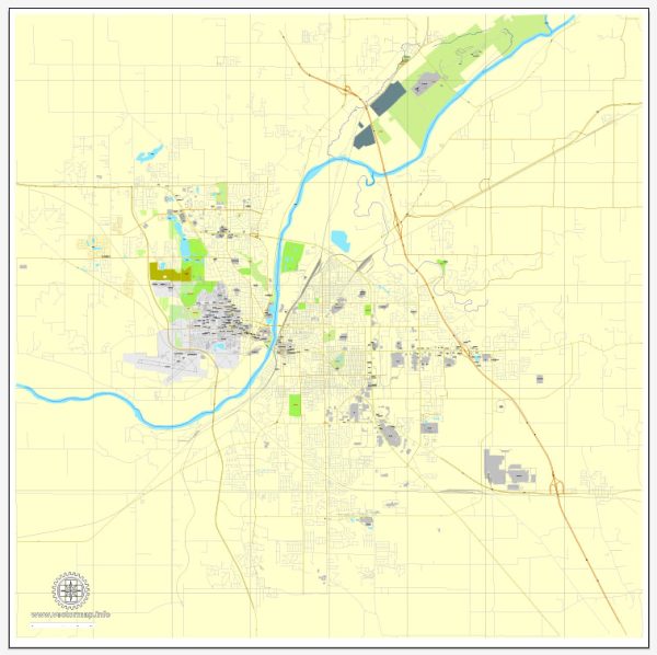
Lafayette is a city located in Tippecanoe County in the state of Indiana, United States. Vectormap.Net provide you with the most accurate and up-to-date vector maps in Adobe Illustrator, PDF and other formats, designed for editing and printing. Please read the vector map descriptions carefully. Here is a detailed description of Lafayette:
Geography and Location:
- Lafayette is situated in the west-central part of Indiana, approximately 65 miles northwest of Indianapolis, the state capital.
- The city is part of the Lafayette-West Lafayette metropolitan area, along with its neighboring city, West Lafayette.
History:
- Lafayette was founded in 1825 and named in honor of the Marquis de Lafayette, a French military hero who played a crucial role in the American Revolutionary War.
- The city has a rich history and played a significant role in the development of Indiana and the Midwest.
Economy:
- Historically, Lafayette’s economy has been tied to manufacturing, agriculture, and Purdue University. The city has a diverse industrial base, including automotive and aerospace manufacturing.
- Purdue University, located in West Lafayette, has a substantial impact on the local economy, contributing to research, education, and technology development.
Purdue University:
- Purdue University, a major public research institution, is adjacent to Lafayette in West Lafayette. It is known for its engineering, science, and agriculture programs.
- The university’s presence influences the city, contributing to a dynamic and diverse community.
Culture and Recreation:
- Lafayette offers a mix of cultural and recreational opportunities. The city has theaters, museums, and hosts various events and festivals throughout the year.
- Columbian Park, a popular city park, features a zoo, playgrounds, and green spaces for outdoor activities.
- The city has a vibrant arts scene, with galleries and performance spaces contributing to the cultural landscape.
Downtown Area:
- Downtown Lafayette is a focal point with a historic ambiance, featuring a mix of architectural styles. Main Street is home to various shops, restaurants, and businesses.
- The downtown area often hosts community events, farmers’ markets, and festivals, making it a hub for local activities.
Neighborhoods:
- Lafayette has a variety of neighborhoods, each with its own character and charm. Residential areas range from historic districts with older homes to newer developments.
- The city has neighborhoods with a strong sense of community, offering a mix of housing options to residents.
Transportation:
- Lafayette is accessible by major highways, including Interstate 65, making it well-connected to other cities in the region.
- Public transportation options include bus services, and the city is pedestrian-friendly in certain areas.
It’s important to note that developments and changes may have occurred since my last update. For the most current and specific information about Lafayette, consider checking with local authorities, community organizations, or recent sources.


 Author: Kirill Shrayber, Ph.D. FRGS