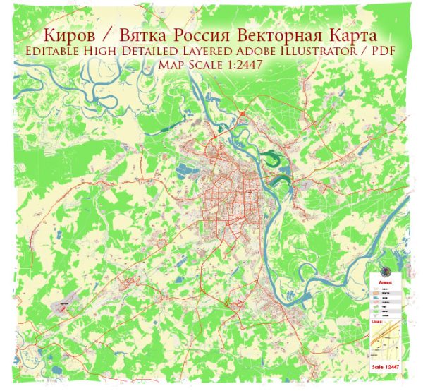
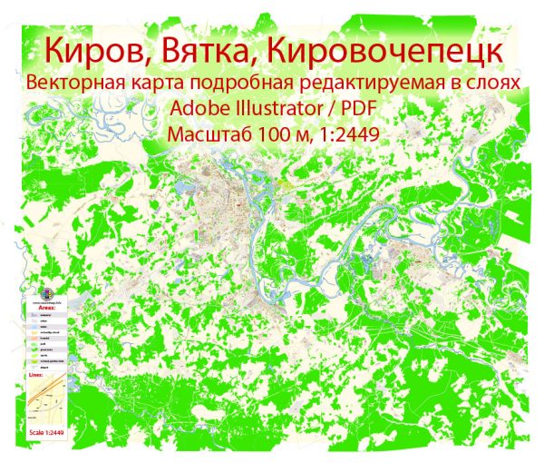
Some details about city districts and neighborhoods within Kirov (Vyatka) and Kirovo-Chepetsk, a general overview:
Vectormap.Net provide you with the most accurate and up-to-date vector maps in Adobe Illustrator, PDF and other formats, designed for editing and printing. Please read the vector map descriptions carefully.
Kirov (Vyatka): Kirov, being a larger city and the administrative center of Kirov Oblast, is likely to have various districts and neighborhoods, each with its own characteristics. Some notable areas may include:
- City Center: This area is likely to be the central business district with administrative buildings, commercial establishments, and cultural institutions.
- Historical Quarters: Kirov has a long history, and there might be neighborhoods preserving historical architecture and landmarks, such as museums, churches, and monuments.
- Industrial Zones: Given Kirov’s history as an industrial city, there may be districts with a concentration of industrial facilities and factories.
- Residential Areas: Like any city, Kirov is likely to have residential neighborhoods with a mix of housing types, from apartment complexes to private houses.
- Recreational Areas: Parks, gardens, and recreational zones might be scattered throughout the city, providing residents with green spaces and places for leisure.
Kirovo-Chepetsk: Kirovo-Chepetsk, being a smaller town with a focus on chemical production, may not have as diverse a range of districts as a larger city. Still, there are likely some distinctions:
- Industrial Zone: Given the town’s emphasis on chemical industries, there may be an industrial area with manufacturing plants and associated infrastructure.
- Residential Areas: Like in any town, there are likely to be neighborhoods with residential properties, providing housing for the local population.
- Commercial District: There might be a central area with local businesses, shops, and services for the town’s residents.
- Community Facilities: Schools, community centers, and healthcare facilities may be dispersed throughout the town to cater to the needs of the population.
It’s important to note that the specifics of districts and neighborhoods can change, and developments may have occurred since my last update. If you’re looking for the most current and detailed information, local government sources, community websites, or recent travel guides can be helpful resources.


 Author: Kirill Shrayber, Ph.D. FRGS