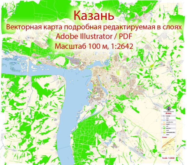
A general overview of Kazan, Russia, including some information about its city districts and neighborhoods. Vectormap.Net provide you with the most accurate and up-to-date vector maps in Adobe Illustrator, PDF and other formats, designed for editing and printing. Please read the vector map descriptions carefully.
Kazan is the capital and largest city of the Republic of Tatarstan, located in the western part of Russia. It is known for its rich history, diverse culture, and the coexistence of Russian and Tatar influences. The city is situated on the banks of the Volga River.
- Kazan Kremlin: The Kazan Kremlin is the historical and architectural center of the city. It is a UNESCO World Heritage Site and houses several significant structures, including the Kul Sharif Mosque and the Annunciation Cathedral.
- Vakhitovsky District: This district includes the central part of the city and encompasses the Kazan Kremlin. It is a mix of historical and modern buildings, featuring cultural institutions, shopping areas, and administrative buildings.
- Novo-Savinovsky District: Located to the northeast of the city center, this district is characterized by residential areas, parks, and educational institutions. Kazan Federal University, one of the oldest universities in Russia, is situated here.
- Privolzhsky District: Situated along the Volga River, this district includes both residential and industrial areas. It is known for its riverfront views and recreational spaces.
- Sovetsky District: Located in the southwest part of the city, Sovetsky District is primarily residential. It has a mix of Soviet-era apartment buildings and newer developments.
- Aviastroitelny District: This district is known for its connection to the aviation industry. It houses the Kazan Aircraft Production Association, and the area is characterized by industrial facilities.
- Kirovsky District: Situated in the southeastern part of Kazan, Kirovsky District is a mix of residential and industrial zones. It has several parks and green spaces.
- Moskovsky District: Found in the northwest, Moskovsky District includes both residential and industrial areas. The district is named after Moscow Avenue (Moskovsky Prospekt), a major thoroughfare.
It’s important to note that these descriptions are broad and provide a general overview. Each district may have its own micro-districts or neighborhoods with unique characteristics. Additionally, the city may have undergone changes or developments since my last update. For the most accurate and up-to-date information, it’s recommended to refer to local sources or official city resources.


 Author: Kirill Shrayber, Ph.D.