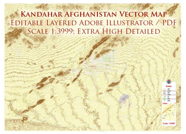
A general overview of Kandahar, Afghanistan’s infrastructure. Keep in mind that the information might have changed since then, especially considering the evolving political and social situation in the country. Vectormap.Net provide you with the most accurate and up-to-date vector maps in Adobe Illustrator, PDF and other formats, designed for editing and printing. Please read the vector map descriptions carefully.
- Transportation:
- Airport: Kandahar International Airport is a major hub in the region, facilitating both civilian and military air traffic.
- Roads: The city is connected by road networks, but the quality of roads and infrastructure may vary.
- Utilities:
- Electricity: Access to electricity may be uneven, and power outages could occur.
- Water Supply: Adequate water supply infrastructure may be a challenge in some areas.
- Public Services:
- Healthcare: Hospitals and healthcare facilities may be available, but their accessibility and quality can vary.
- Education: Schools and educational institutions exist, but availability and quality may vary.
- Communication:
- Telecommunications: Mobile phone networks and internet services are likely available, although the extent and reliability can differ.
- Economic Infrastructure:
- Markets and Commercial Areas: Kandahar likely has markets and commercial areas where business activities take place.
- Industrial Zones: There may be industrial zones contributing to economic activities.
- Security Situation:
- Given the historical and geopolitical context, security concerns have had a significant impact on infrastructure development and maintenance.
- Cultural and Historical Sites:
- Kandahar has a rich cultural and historical heritage with sites of significance.
It’s crucial to note that Afghanistan has experienced ongoing conflict, and the situation may have changed significantly. Infrastructure conditions could be affected by various factors, including political instability, security issues, and international aid efforts. For the most accurate and up-to-date information, it’s recommended to consult local sources, news reports, or official government statements.


 Author: Kirill Shrayber, Ph.D.