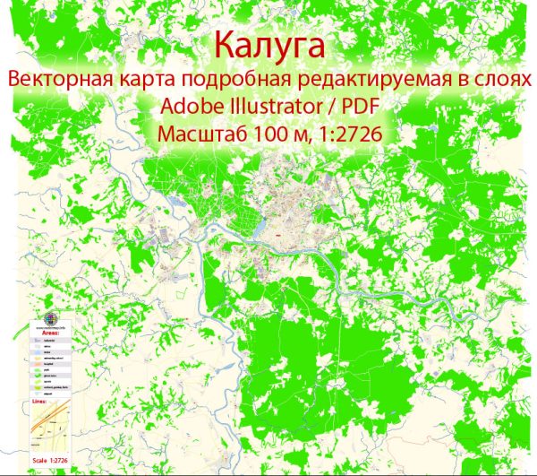
A general overview of the infrastructure in Kaluga, Russia. Vectormap.Net provide you with the most accurate and up-to-date vector maps in Adobe Illustrator, PDF and other formats, designed for editing and printing. Please read the vector map descriptions carefully.
- Transportation:
- Roads: Kaluga is connected by a network of roads, including federal highways. The road infrastructure is essential for both local transportation and the movement of goods.
- Railways: Kaluga has a railway connection, facilitating the transportation of goods and passengers.
- Airports:
- Kaluga has an airport, Grabtsevo Airport (IATA: KLF), which serves domestic flights. It plays a role in connecting the region to other parts of Russia.
- Public Transportation:
- The city likely has a local public transportation system, including buses and possibly trams or trolleybuses.
- Industrial Zones:
- Kaluga is known for its industrial development, with various industrial zones and parks. The Kaluga Special Economic Zone (SEZ) is one such area that attracts industrial investment.
- Utilities:
- Basic utilities such as water supply, electricity, and sanitation services are available in the city.
- Educational and Healthcare Facilities:
- Kaluga is likely to have educational institutions and healthcare facilities to cater to the needs of its residents.
- Cultural and Recreational Facilities:
- The city may have cultural and recreational facilities, including parks, theaters, museums, and sports complexes.
- Commercial and Retail Centers:
- Kaluga probably has commercial and retail centers, shopping malls, and markets to cater to the needs of the local population.
- Smart City Initiatives:
- As with many modern cities, Kaluga may have implemented or be planning smart city initiatives, including the use of technology for efficient governance and public services.
- Urban Development:
- Kaluga may have ongoing urban development projects aimed at improving infrastructure, housing, and overall living standards.
For the most up-to-date and detailed information, it is recommended to consult local government sources or recent publications about Kaluga’s infrastructure.


 Author: Kirill Shrayber, Ph.D.