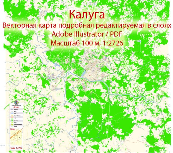
Kaluga is a city in western Russia, located about 190 kilometers southwest of Moscow. It is the administrative center of the Kaluga Oblast. Here’s a detailed description of the city:
Geography: Kaluga is situated on the Oka River, a tributary of the Volga River. The city’s geographical coordinates are approximately 54.5200° N latitude and 36.2500° E longitude. The landscape around Kaluga is characterized by a mix of rivers, forests, and agricultural areas.
History: Kaluga has a rich history that dates back to the 14th century. It was officially founded in 1371 and has played a significant role in Russia’s historical and cultural development. Throughout the centuries, Kaluga served as a fortress, a trade center, and later an important industrial hub.
Economy: The city’s economy is diverse, with industries such as machinery, aerospace, and food processing playing a crucial role. Kaluga is known for its industrial parks, attracting both domestic and international companies. The automotive industry, in particular, has a strong presence with several major manufacturers establishing production facilities in the region.
Culture and Education: Kaluga boasts a vibrant cultural scene with numerous museums, theaters, and art galleries. The city is home to the Tsiolkovsky State Museum of the History of Cosmonautics, dedicated to the pioneering work of Konstantin Tsiolkovsky, one of the founding fathers of astronautics. Kaluga is also known for its annual space-related events and festivals.
The city is home to several educational institutions, including the Kaluga State University, offering a range of academic programs in various fields.
Architectural Landmarks: Kaluga features a blend of historical and modern architecture. The city’s historical center preserves well-preserved buildings from different periods, including churches, merchant houses, and government buildings. The Kaluga Kremlin, a fortress dating back to the 16th century, is a prominent architectural landmark.
Transportation: Kaluga is well-connected by road and rail, making it easily accessible from Moscow and other nearby cities. The city has a developed public transportation system, including buses and trolleybuses. The road network includes major highways linking Kaluga to Moscow and other regional centers.
Natural Attractions: The surrounding region offers natural attractions, including parks, forests, and the Oka River. Kaluga’s green spaces provide opportunities for outdoor activities and recreation.
Overall Atmosphere: Kaluga combines historical charm with modern development, making it a dynamic and interesting city. Its strategic location, strong industrial base, and cultural richness contribute to its significance in the region. Visitors to Kaluga can experience a mix of history, culture, and the natural beauty of the surrounding landscapes.
Vectormap.Net provide you with the most accurate and up-to-date vector maps in Adobe Illustrator, PDF and other formats, designed for editing and printing. Please read the vector map descriptions carefully.


 Author: Kirill Shrayber, Ph.D.