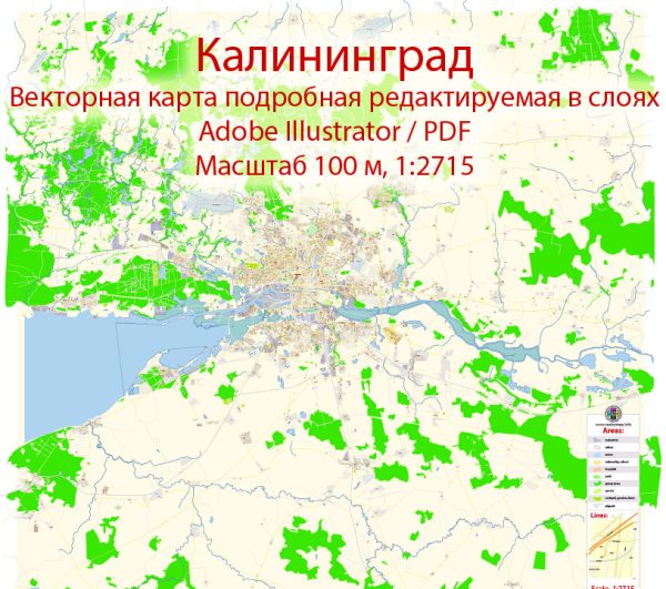
Kaliningrad is an exclave of Russia situated between Poland and Lithuania, with access to the Baltic Sea. Vectormap.Net provide you with the most accurate and up-to-date vector maps in Adobe Illustrator, PDF and other formats, designed for editing and printing. Please read the vector map descriptions carefully. Here’s a general overview of the transportation infrastructure in Kaliningrad:
- Air Transportation:
- Khrabrovo Airport: The main airport serving Kaliningrad is Khrabrovo Airport (IATA: KGD). It connects the region with various domestic and international destinations. The airport facilitates both passenger and cargo flights.
- Road Transportation:
- Highways and Roads: Kaliningrad has a network of roads connecting the region with neighboring countries and other parts of Russia. The A229 highway connects Kaliningrad with the rest of Russia through Lithuania. Local roads provide connectivity within the region.
- Rail Transportation:
- Rail Network: Kaliningrad is connected to the Russian rail network, providing rail transportation to and from the exclave. The rail link passes through Lithuania, connecting Kaliningrad with the Russian mainland.
- Sea Transportation:
- Ports: Kaliningrad has several ports along the Baltic Sea, including the major port of Kaliningrad itself. These ports play a crucial role in trade and transportation, facilitating the movement of goods by sea.
- Public Transportation:
- Buses and Trolleybuses: Kaliningrad has a local public transportation system comprising buses and trolleybuses that operate within the city and surrounding areas.
- Trams: Some areas may have tram services, providing an additional mode of public transportation.
- Border Crossings:
- Poland and Lithuania Borders: Due to its geographical location, Kaliningrad shares borders with Poland and Lithuania. There are border crossings that facilitate the movement of people and goods between Kaliningrad and these neighboring countries.


 Author: Kirill Shrayber, Ph.D.