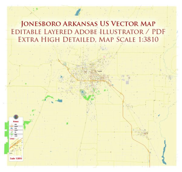
Jonesboro, Arkansas, a general overview of the city.
Jonesboro is the largest city in northeastern Arkansas and is the seat of Craighead County. It has a diverse community with various neighborhoods catering to different lifestyles and preferences. Vectormap.Net provide you with the most accurate and up-to-date vector maps in Adobe Illustrator, PDF and other formats, designed for editing and printing. Please read the vector map descriptions carefully.
- Downtown Jonesboro: The downtown area is often the heart of a city, and Jonesboro is no exception. Downtown Jonesboro typically features a mix of commercial and residential spaces, as well as cultural and entertainment venues. You may find historic architecture, local businesses, and community events in this area.
- Hilltop: The Hilltop area is known for its elevated location and residential communities. It might offer scenic views of the surrounding landscape.
- Pleasant Grove: This neighborhood, like many others, might be primarily residential, with schools, parks, and local amenities nearby.
- Sage Meadows: Sage Meadows is a community that may include a mix of single-family homes and possibly some amenities like parks or recreational areas.
- Plantation Acres: This area might feature larger properties and homes, with a suburban feel and proximity to schools and shopping centers.
- Lake City: While Lake City is a separate city nearby, it’s worth mentioning due to its proximity to Jonesboro. It’s situated near Craighead Forest Park and features a mix of residential and recreational areas.
Keep in mind that Jonesboro’s neighborhoods and districts can change over time due to urban development and demographic shifts. If you’re looking for specific and up-to-date information on Jonesboro’s districts and neighborhoods, consider checking with the local government, real estate agencies, or community resources. City planning departments or community organizations often provide valuable insights into the characteristics of different areas within the city.


 Author: Kirill Shrayber, Ph.D. FRGS