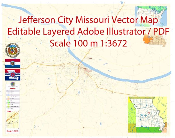
Jefferson City, Missouri, a general overview of the city.
Vectormap.Net provide you with the most accurate and up-to-date vector maps in Adobe Illustrator, PDF and other formats, designed for editing and printing. Please read the vector map descriptions carefully.
Jefferson City is the capital of Missouri and is located on the northern edge of the Ozark Plateau. It’s situated along the Missouri River and has a rich history as a political and cultural center. Keep in mind that the city may have undergone changes or developments since my last update.
- Downtown Jefferson City: The downtown area is likely to be the heart of the city, featuring government buildings, historical sites, and cultural attractions. You may find a mix of commercial and residential spaces in this area.
- Residential Neighborhoods: Jefferson City is likely to have various residential neighborhoods offering a range of housing options. Some neighborhoods may be characterized by historic homes, while others may have more modern developments. Popular residential areas often include good schools, parks, and community amenities.
- Government Hill: Given that Jefferson City is the state capital, there may be a district or area known as Government Hill or Capitol Hill where government offices and institutions are concentrated.
- Education Institutions: Areas surrounding universities or colleges, if any, may have a vibrant and dynamic atmosphere with student-centric amenities and activities.
- Riverfront: With its location along the Missouri River, there might be a riverfront area offering recreational spaces, parks, and possibly some commercial establishments.
- Cultural and Entertainment Districts: Look for areas that are known for cultural events, entertainment venues, and a variety of dining options. These districts often contribute to the city’s lively atmosphere.
- Commercial and Retail Areas: Jefferson City is likely to have commercial and retail districts, providing residents with shopping, dining, and entertainment options.
To get the most accurate and up-to-date information about specific districts and neighborhoods in Jefferson City, consider reaching out to the city’s official website, local government offices, or community organizations. Additionally, local real estate websites often provide insights into different neighborhoods and their characteristics.


 Author: Kirill Shrayber, Ph.D. FRGS