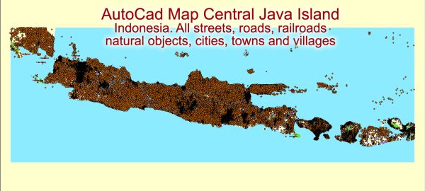
Certainly! Java is an island in Indonesia, and it is the world’s most populous island as well as the most densely populated. Here is a detailed description of Java, Indonesia:
- Location:
- Java is located in Southeast Asia and is part of Indonesia, which is an archipelago of more than 17,000 islands.
- It lies between Sumatra to the west and Bali to the east.
- Geography:
- Java is the 13th largest island in the world and the fifth-largest in Indonesia.
- The island is characterized by a diverse geography, including volcanic mountains, fertile plains, and coastal areas.
- It is home to numerous active volcanoes, with Mount Bromo and Mount Merapi being among the most famous.
- Population:
- Java is the most populous island globally, with over 140 million people.
- The island’s high population density is primarily concentrated in urban areas, such as Jakarta (the capital city) and its surrounding metropolitan area.
- Economy:
- Java is the economic and political center of Indonesia. It contributes significantly to the country’s GDP.
- The island is home to major industrial and commercial centers, including Jakarta, Surabaya, and Bandung.
- Agriculture is also a vital part of the economy, with rice, tea, and rubber being among the important crops.
- Culture and History:
- Java has a rich cultural heritage, influenced by various civilizations, including Hindu-Buddhist kingdoms and Islamic sultanates.
- The island has several historical and cultural sites, such as Borobudur and Prambanan temples, both UNESCO World Heritage Sites.
- Traditional Javanese art, dance, and music are integral parts of the island’s cultural identity.
- Major Cities:
- Jakarta: The capital and largest city of Indonesia, located on the northwestern coast of Java. It is a major economic and political hub.
- Surabaya: The second-largest city, a major port, and industrial center situated on the northeastern coast.
- Bandung: Known for its cool climate and surrounded by volcanic mountains, Bandung is a city with a strong focus on education and technology.
- Transportation:
- Java has a well-developed transportation network, including roads, railways, and airports.
- The island is connected by several toll roads, making it easier to travel between major cities.
- Java is also well-connected by air, with several airports catering to domestic and international flights.
- Challenges:
- Despite its economic prosperity, Java faces challenges such as traffic congestion, environmental issues, and the strain on resources due to its high population density.
In summary, Java, Indonesia, is a diverse and dynamic island with a rich cultural heritage, significant economic importance, and a blend of modern urban centers and natural wonders. It plays a pivotal role in shaping Indonesia’s cultural, economic, and political landscape.
Vectormap.Net provide you with the most accurate and up-to-date vector maps in Adobe Illustrator, PDF and other formats, designed for editing and printing. Please read the vector map descriptions carefully.


 Author: Kirill Shrayber, Ph.D. FRGS