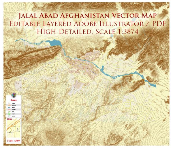
Jalalabad, Afghanistan, a general overview based on information available up to that point. Vectormap.Net provide you with the most accurate and up-to-date vector maps in Adobe Illustrator, PDF and other formats, designed for editing and printing. Please read the vector map descriptions carefully.
Jalalabad is the capital of Nangarhar Province in eastern Afghanistan. It is a historically significant city with a rich cultural and economic heritage. The city is situated on the Kabul River and has played a crucial role in trade and commerce in the region.
Some general features of Jalalabad include:
- Districts:
- Surkh Rod District: This district is located to the north of Jalalabad and is known for its agricultural activities.
- Behsud District: Situated to the west of Jalalabad, Behsud is characterized by a mix of rural and urban areas.
- Kama District: Located to the east of Jalalabad, Kama District is known for its diverse communities and agricultural lands.
- Neighborhoods:
- City Center: The central area of Jalalabad is likely to have the main marketplaces, government offices, and commercial establishments.
- Shahr-e-Naw: This area might be a more modern part of the city, with commercial centers, educational institutions, and residential neighborhoods.
- Qasaba: Historically significant, Qasaba is likely to have traditional Afghan architecture and cultural landmarks.
- Sorkh-Darra (Red Valley): This area may have agricultural fields and residential communities.
Due to the dynamic nature of the region, it’s recommended to check more recent and reliable sources for the latest information on Jalalabad’s districts and neighborhoods.


 Author: Kirill Shrayber, Ph.D. FRGS