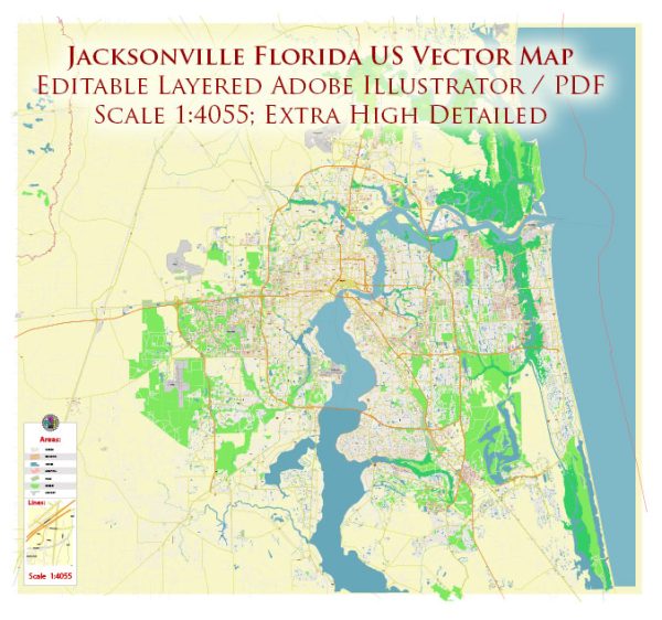
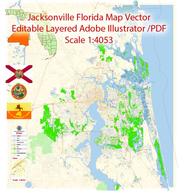
A general overview of the infrastructure in Jacksonville, Florida. Vectormap.Net provide you with the most accurate and up-to-date vector maps in Adobe Illustrator, PDF and other formats, designed for editing and printing. Please read the vector map descriptions carefully.
- Transportation:
- Roads and Highways: Jacksonville has an extensive road network, including major highways like I-95 and I-10. The city’s road system is designed to accommodate the growing population and facilitate efficient transportation.
- Public Transit: The Jacksonville Transportation Authority (JTA) operates public transportation services, including buses and the Jacksonville Skyway, an automated people mover.
- Airports:
- Jacksonville International Airport (JAX) serves as the primary airport for the city, connecting it with domestic and international destinations.
- Ports:
- The Port of Jacksonville is a significant deep-water port located along the St. Johns River. It plays a crucial role in trade and commerce, handling various cargo including containers, automobiles, and bulk goods.
- Utilities:
- The city has a well-developed utility infrastructure for water supply, wastewater management, and electricity. JEA (Jacksonville Electric Authority) is responsible for providing electric, water, and sewer services.
- Telecommunications:
- Jacksonville has a robust telecommunications infrastructure with widespread access to high-speed internet and mobile services.
- Education and Healthcare:
- Jacksonville is home to several educational institutions, including the University of North Florida and Jacksonville University. The city also has a network of healthcare facilities and hospitals.
- Public Facilities:
- The city features various public facilities such as parks, libraries, and recreational centers. The Riverwalk along the St. Johns River is a notable recreational area.
- Urban Development:
- Jacksonville has experienced urban development, including both commercial and residential areas. The city’s skyline includes several high-rise buildings, and there are ongoing efforts to revitalize downtown areas.
- Emergency Services:
- Jacksonville has a well-established system of emergency services, including police, fire, and medical services.
- Military Presence:
- Jacksonville has a significant military presence, with Naval Air Station Jacksonville and Naval Station Mayport playing key roles in the region’s defense.
- Resilience and Infrastructure Planning:
- Given its location in Florida, Jacksonville is susceptible to hurricanes and other natural disasters. Infrastructure planning includes measures to enhance resilience and mitigate the impact of such events.


 Author: Kirill Shrayber, Ph.D. FRGS