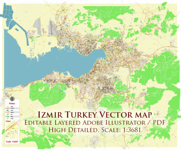
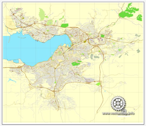
A general overview of Izmir, Turkey’s infrastructure. Vectormap.Net provide you with the most accurate and up-to-date vector maps in Adobe Illustrator, PDF and other formats, designed for editing and printing. Please read the vector map descriptions carefully. Izmir is Turkey’s third-largest city and an important economic and cultural hub. Here are some key aspects of its infrastructure:
- Transportation:
- Airports: Izmir is served by Adnan Menderes Airport, located about 18 kilometers southwest of the city center. It is a major international gateway.
- Public Transportation: The city has an extensive public transportation system, including buses, metro, and suburban trains. The Izmir Metro connects various parts of the city.
- Road Network:
- Izmir has a well-developed road network, including highways and expressways, facilitating transportation within the city and connecting it to other regions in Turkey.
- Seaports:
- Izmir is home to several ports, including Alsancak Port, which is one of the busiest in Turkey. These ports play a crucial role in the city’s trade and commerce.
- Railways:
- The railway network connects Izmir to other major cities in Turkey. The railway system facilitates the transportation of goods and passengers.
- Utilities:
- Izmir has a reliable utility infrastructure, including water supply, electricity, and sewage systems. The city has made efforts to improve its sustainability and environmental impact.
- Telecommunications:
- Modern telecommunication infrastructure is in place, providing residents and businesses with access to various communication services.
- Educational and Healthcare Facilities:
- Izmir has a number of educational institutions and healthcare facilities, contributing to the overall well-being and development of the population.
- Commercial and Residential Infrastructure:
- The city has a mix of commercial and residential areas, including shopping districts, business centers, and a variety of housing options.
- Cultural and Recreational Facilities:
- Izmir features cultural and recreational amenities such as theaters, museums, parks, and sports facilities, enhancing the quality of life for residents and attracting tourists.
- Urban Development:
- Like many growing cities, Izmir has been undergoing urban development projects to accommodate its increasing population and promote sustainable growth.


 Author: Kirill Shrayber, Ph.D. FRGS