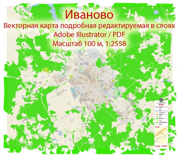
A general overview of the infrastructure in Ivanovo, Russia. Vectormap.Net provide you with the most accurate and up-to-date vector maps in Adobe Illustrator, PDF and other formats, designed for editing and printing. Please read the vector map descriptions carefully.
- Transportation:
- Roads: Ivanovo is connected to major cities in Russia by a network of roads. Highways and local roads facilitate transportation within the city and to neighboring regions.
- Railways: The city has a railway station providing rail connections to Moscow and other parts of the country.
- Public Transportation:
- Ivanovo has a public transportation system that includes buses and trams, providing residents with a means of commuting within the city.
- Airports:
- Ivanovo does not have its own airport with regular passenger flights. The nearest major airport is likely to be Sheremetyevo International Airport in Moscow.
- Utilities:
- Water and Sewage: Ivanovo has a system for water supply and sewage disposal to meet the needs of its residents and industries.
- Electricity: The city is connected to the broader electricity grid to ensure a stable power supply.
- Education and Healthcare:
- Schools and Universities: Ivanovo is home to educational institutions, including Ivanovo State University, contributing to the educational infrastructure of the city.
- Hospitals and Healthcare Facilities: There are hospitals and healthcare facilities in the city to address the medical needs of the population.
- Industrial Infrastructure:
- Ivanovo has a history of being an industrial center, particularly in the textile industry. Industrial zones and facilities contribute to the economic infrastructure of the city.
- Cultural and Recreational Facilities:
- The city likely has cultural and recreational facilities, including museums, theaters, and parks, to cater to the social and cultural needs of the residents.
- Housing:
- The city has residential areas with housing for its population. The housing infrastructure may include apartment buildings, houses, and other residential structures.
Keep in mind that this overview provides a general perspective, and for more detailed and up-to-date information, it is recommended to refer to local government sources, city planning documents, or recent publications about Ivanovo.


 Author: Kirill Shrayber, Ph.D.