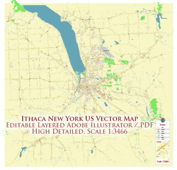
A general overview of the infrastructure in Ithaca, New York. Vectormap.Net provide you with the most accurate and up-to-date vector maps in Adobe Illustrator, PDF and other formats, designed for editing and printing. Please read the vector map descriptions carefully.
- Transportation:
- Roads and Highways: Ithaca is served by several major roads, including New York State Route 13 and Route 79. The road infrastructure connects the city with other parts of the state.
- Public Transit: The Tompkins Consolidated Area Transit (TCAT) provides public transportation services in Ithaca and the surrounding areas.
- Airports:
- Ithaca Tompkins International Airport: This airport serves the region with both domestic and limited international flights.
- Education Institutions:
- Cornell University: One of the prestigious Ivy League universities, Cornell is a major educational institution in Ithaca.
- Ithaca College: Another prominent institution in the city.
- Utilities:
- Water and Sewer: The city manages water supply and sewage treatment systems.
- Electricity and Gas: Provided by various utility companies.
- Telecommunications:
- Standard telecommunications infrastructure, including wired and wireless services, is available.
- Healthcare:
- Cayuga Medical Center is a major healthcare facility serving the community.
- Recreation and Culture:
- Ithaca is known for its natural beauty, with gorges, waterfalls, and parks. The Cayuga Lake and nearby state parks offer recreational opportunities.
- Museums, theaters, and cultural events contribute to the city’s vibrant cultural scene.
- Housing:
- Residential areas include a mix of single-family homes, apartments, and student housing.
- Technology and Innovation:
- With the presence of Cornell University and its research activities, Ithaca has some focus on technology and innovation.
- Economic Overview:
- The economy is influenced by education, healthcare, and the presence of academic and research institutions.
- Emergency Services:
- Police, fire, and emergency medical services are provided by local agencies.
- Environmental Initiatives:
- Ithaca is known for its environmentally conscious community, with efforts toward sustainability and green initiatives.


 Author: Kirill Shrayber, Ph.D. FRGS