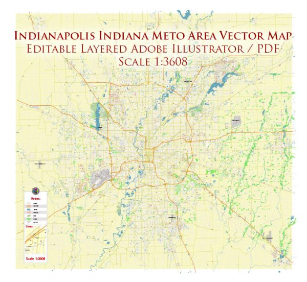
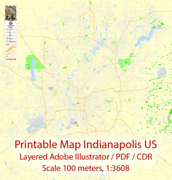
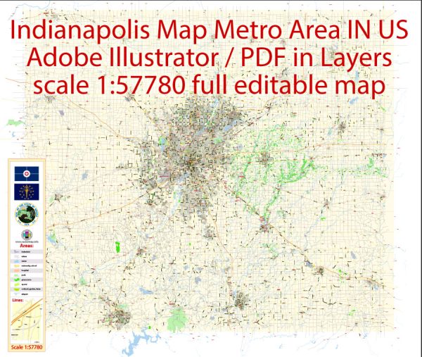
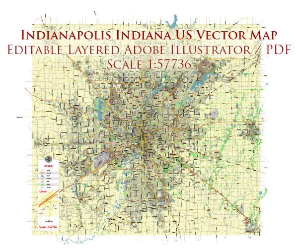
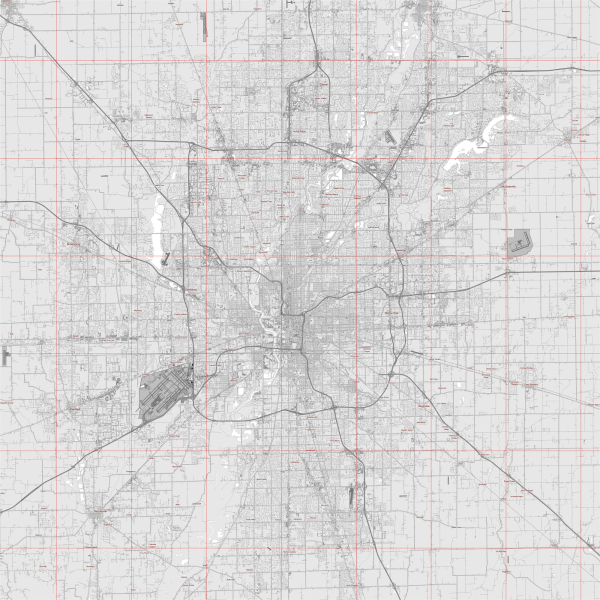
Indianapolis, Indiana, serves as a major transportation hub with several key transportation routes, including highways, railroads, and an international airport. Here are some of the major transportation routes in the Indianapolis area:
- Interstate Highways:
- I-65: Runs north-south through the western side of Indianapolis, connecting the city to Chicago in the north and Louisville, Kentucky, in the south.
- I-70: Crosses the city from east to west, connecting Indianapolis to cities like Columbus, Ohio, and St. Louis, Missouri.
- I-74: Passes to the southeast of Indianapolis, providing connections to Cincinnati, Ohio, and Champaign, Illinois.
- U.S. Highways:
- U.S. 31: Runs through the western part of Indianapolis, connecting the city to South Bend and Indianapolis.
- U.S. 40: Historically known as the National Road, it passes through the downtown area and connects Indianapolis to the east and west coasts.
- Railroads:
- Indianapolis has a significant railroad presence, with multiple rail lines converging in the city. The city is served by major freight railroads, facilitating the transportation of goods.
- Indianapolis International Airport (IND):
- The Indianapolis International Airport is a major air transportation hub, providing domestic and international flights. It serves as a hub for FedEx Express and is a focus city for other airlines.
- Public Transit:
- IndyGo, the public transportation agency in Indianapolis, operates a bus system that serves the city and some surrounding areas.
- Ports and Waterways:
- While Indianapolis is not directly on a major waterway, the nearby Ohio River is an important transportation route for the region.
These transportation routes contribute to Indianapolis’ role as a logistical and transportation hub in the Midwest, facilitating the movement of goods and people both regionally and nationally.
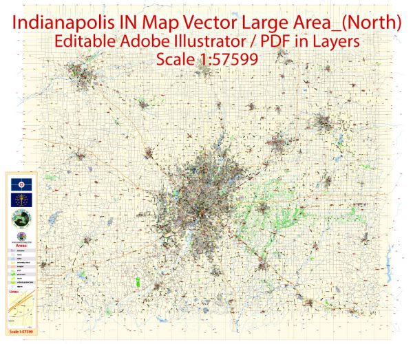
Vectormap.Net provide you with the most accurate and up-to-date vector maps in Adobe Illustrator, PDF and other formats, designed for editing and printing. Please read the vector map descriptions carefully.


 Author: Kirill Shrayber, Ph.D. FRGS