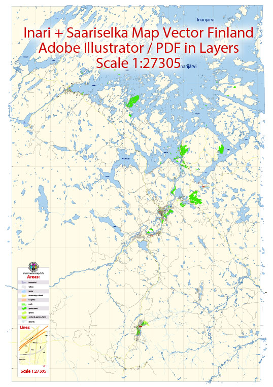
Saariselkä’s infrastructure, a general overview of what infrastructure in a typical Finnish town might include. Vectormap.Net provide you with the most accurate and up-to-date vector maps in Adobe Illustrator, PDF and other formats, designed for editing and printing. Please read the vector map descriptions carefully.
- Transportation:
- Roads: Finland generally has a well-developed road network, and Saariselkä is likely to be connected by roads to other towns and cities.
- Public Transportation: Smaller towns might have limited public transportation, and residents often rely on private vehicles.
- Utilities:
- Water and Sewage: Access to clean water and proper sewage systems are standard in Finnish towns.
- Electricity: Reliable electricity is available throughout the country.
- Heating: In colder regions like Saariselkä, there might be a reliance on efficient heating systems, possibly including district heating.
- Communication:
- Internet and Telecommunications: Finland has advanced telecommunication infrastructure, and high-speed internet is widely available.
- Public Services:
- Healthcare: Finland has a well-organized healthcare system, and there are likely healthcare facilities in or near Saariselkä.
- Education: Finnish education is of high quality, and there should be schools in the area.
- Emergency Services: Police, fire, and emergency medical services are standard in Finnish communities.
- Recreation and Culture:
- Parks and Recreation Areas: Given Saariselkä’s likely location in Lapland, there might be access to natural parks and recreational areas.
- Cultural Facilities: Libraries, cultural centers, and potentially museums contribute to the cultural life of the town.
- Tourism Infrastructure:
- Accommodation: Given Saariselkä’s potential popularity as a tourist destination, there are likely various accommodation options, including hotels and cabins.
- Tourist Information Centers: These centers provide information to visitors about local attractions and services.
- Winter Sports Facilities: If Saariselkä is a winter tourism destination, it might have ski resorts, snowmobiling facilities, and other winter sports infrastructure.
Remember to check more recent sources or local government websites for the most up-to-date information on Saariselkä’s infrastructure as developments.


 Author: Kirill Shrayber, Ph.D. FRGS