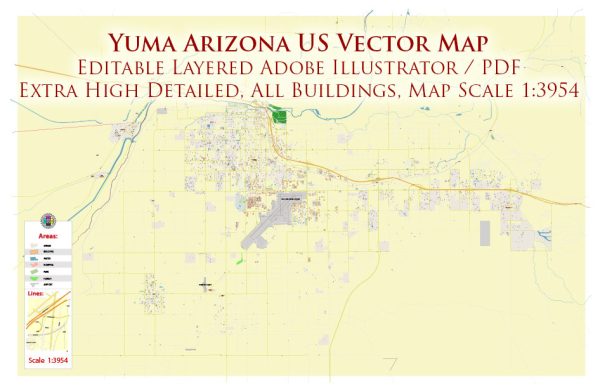
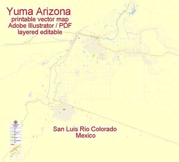
Some general information about Yuma, Arizona, including its principal waterways, bridges, and main streets. Vectormap.Net provide you with the most accurate and up-to-date vector maps in Adobe Illustrator, PDF and other formats, designed for editing and printing. Please read the vector map descriptions carefully.
Principal Waterways:
- Colorado River: Yuma is situated along the Colorado River, which serves as a significant waterway for the region. The river is vital for agriculture, recreation, and the overall economy of the area.
Bridges:
- Yuma Crossing State Historic Park: This park features the historic Yuma Territorial Prison and the Ocean-to-Ocean Bridge, which was the first highway bridge to cross the Colorado River. The bridge is a notable landmark with historical significance.
- Giss Parkway Bridge: Also known as the Gateway Bridge, it connects Yuma, Arizona, with the nearby city of Los Algodones in Mexico. This bridge is an essential border crossing.
- Quechan-Picacho Bridge: Connecting Yuma, Arizona, with Fort Yuma Indian Reservation, this bridge spans the Colorado River.
Main Streets:
- 4th Avenue: 4th Avenue is a significant street in Yuma, known for its historic buildings, shops, and restaurants. It is a part of the downtown area and offers a glimpse into Yuma’s past.
- Main Street: As the name suggests, Main Street is a central thoroughfare in Yuma, hosting various businesses, shops, and services. It is a hub for local activities and events.
- 16th Street: This street is known for hosting a variety of commercial establishments, including shopping centers, restaurants, and other amenities.
For the most up-to-date information, consider checking with local authorities or using online mapping services.


 Author: Kirill Shrayber, Ph.D. FRGS