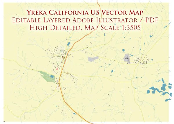
Some general information about Yreka, California’s principal waterways, bridges, and main streets. Vectormap.Net provide you with the most accurate and up-to-date vector maps in Adobe Illustrator, PDF and other formats, designed for editing and printing. Please read the vector map descriptions carefully.
Waterways:
- Shasta River: One of the major waterways in the area, flowing through the Shasta Valley.
Bridges:
Yreka is not known for having numerous large bridges, but there may be smaller bridges within the city or its outskirts. Always check with local authorities for any recent developments.
Main Streets:
- Broadway Street: Broadway is one of the main thoroughfares in Yreka, hosting various businesses, shops, and services.
- Main Street: As in many small towns, Main Street is likely a central hub for local commerce and community activity.
- Oregon Street: Another significant street in Yreka, potentially hosting a mix of residential and commercial properties.
- West Miner Street: This street may be part of the historical district, with some charming architecture and possibly housing local businesses.
Again, it’s crucial to check with local authorities or recent sources for the most accurate and current information about Yreka’s waterways, bridges, and main streets. You may also want to explore online maps or contact the city’s municipal office for the latest details.


 Author: Kirill Shrayber, Ph.D. FRGS