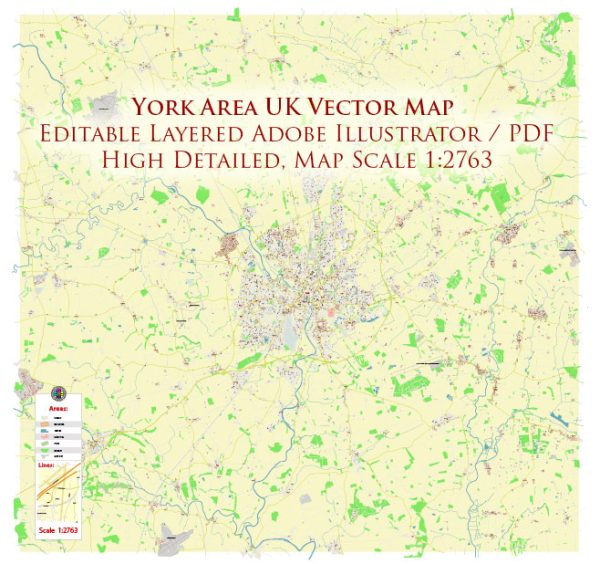
A general overview of the principal waterways, bridges, and main streets in the York area, UK. Vectormap.Net provide you with the most accurate and up-to-date vector maps in Adobe Illustrator, PDF and other formats, designed for editing and printing. Please read the vector map descriptions carefully.
Principal Waterways:
- River Ouse: The River Ouse is a major waterway that flows through the city of York. It is navigable and has historically played a significant role in the city’s development.
Bridges:
- Lendal Bridge: Lendal Bridge is an iconic bridge that spans the River Ouse in central York. It connects Lendal on the west bank with Museum Street on the east bank.
- Ouse Bridge: Ouse Bridge is another important bridge over the River Ouse, connecting the areas of Micklegate and North Street.
- Skeldergate Bridge: This bridge spans the River Ouse and connects Skeldergate on the east bank with Bishopgate on the west bank.
- Millennium Bridge: The Millennium Bridge is a relatively modern pedestrian and cycle bridge that provides a crossing over the River Ouse, linking Fulford and Fishergate.
Main Streets:
- Coney Street: Coney Street is one of the main shopping streets in York, featuring a variety of shops, restaurants, and historic buildings.
- Stonegate: Stonegate is a charming street lined with shops, pubs, and historic buildings. It is known for its medieval architecture and unique atmosphere.
- Micklegate: Micklegate is a historic street that leads to Micklegate Bar, one of the main gateways into the city. The street is lined with historic buildings and is home to various shops and pubs.
- Fossgate: Fossgate is a street located near the River Foss, known for its independent shops, cafes, and restaurants.
- High Petergate and Low Petergate: These streets run parallel to each other and lead to the York Minster, the iconic cathedral in the heart of the city.
Please be aware that developments may have occurred since my last update. For the most current and detailed information, it is advisable to consult a recent map of York or local resources.


 Author: Kirill Shrayber, Ph.D. FRGS