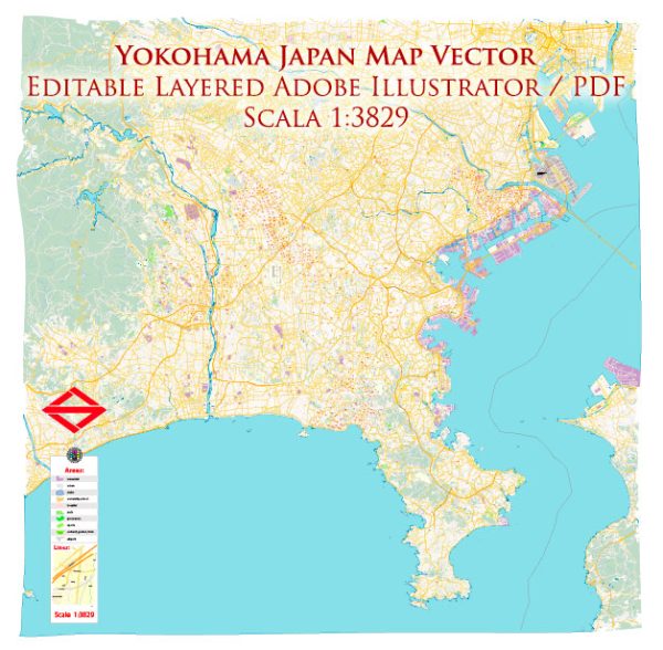
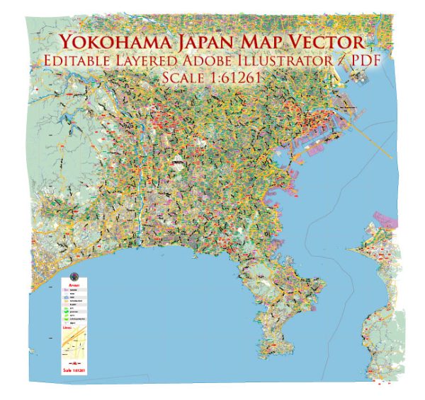
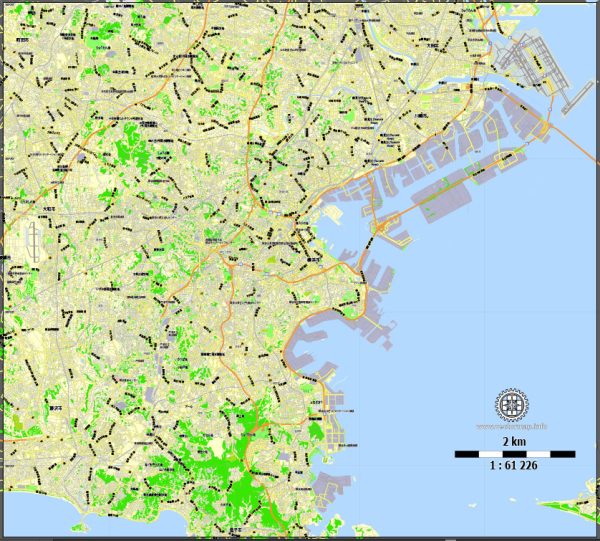
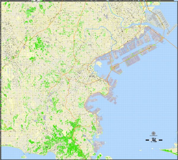
Yokohama, a major port city in Japan, has several principal waterways, bridges, and main streets that contribute to its vibrant urban landscape. Vectormap.Net provide you with the most accurate and up-to-date vector maps in Adobe Illustrator, PDF and other formats, designed for editing and printing. Please read the vector map descriptions carefully.
Waterways:
- Yokohama Port: As one of Japan’s largest and busiest ports, Yokohama Port plays a crucial role in the city’s economic activities. It accommodates various shipping activities and cruise terminals.
- Ōoka River: This river flows through the heart of Yokohama, enhancing the cityscape. You can find picturesque spots along its banks.
- Katabira River: Another notable waterway, the Katabira River, contributes to the overall water network in Yokohama.
Bridges:
- Bay Bridge (Yokohama Bay Bridge): Connecting the waterfront areas, the Bay Bridge is an iconic suspension bridge that offers stunning views of Yokohama Bay and the surrounding city.
- Minato Mirai 21 Bridge (Cosmo Clock 21): This bridge is part of the Minato Mirai 21 area and features the famous Cosmo Clock 21 Ferris wheel, which adds to the city’s nighttime skyline.
Main Streets and Roads:
- Yamashita Park Promenade: This waterfront promenade offers a scenic walk along Yokohama Bay, providing views of the port and nearby landmarks.
- Motomachi Shopping Street: Motomachi is a popular shopping district with a charming European atmosphere. The Motomachi Shopping Street is lined with boutiques, cafes, and restaurants.
- Minato Mirai 21: This modern business district is home to landmarks like Landmark Tower, Pacifico Yokohama, and Queen’s Square Yokohama. It includes wide boulevards and pedestrian-friendly areas.
- Isezakicho Shopping Street: Isezakicho is one of Yokohama’s oldest shopping streets, offering a mix of traditional and modern shops, as well as a variety of dining options.
- Yokohama Station Area: The area around Yokohama Station is a bustling transportation hub with multiple shopping complexes, hotels, and office buildings.
- Sakuragicho Station Area: Close to Minato Mirai 21, this area features a mix of entertainment, shopping, and dining options. Landmarks include the Red Brick Warehouse and the Cosmo World amusement park.
Remember that Yokohama is a dynamic city, and ongoing urban development projects may introduce changes to its infrastructure and skyline. For the most up-to-date information, it’s recommended to check local sources or official city guides.


 Author: Kirill Shrayber, Ph.D. FRGS