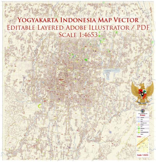
A general overview of Yogyakarta’s principal waterways, bridges, and main streets. Vectormap.Net provide you with the most accurate and up-to-date vector maps in Adobe Illustrator, PDF and other formats, designed for editing and printing. Please read the vector map descriptions carefully.
Principal Waterways:
- Code River (Kali Code): Code River is one of the major waterways in Yogyakarta. It flows through the city and plays a significant role in the local ecosystem.
- Opak River (Kali Opak): Opak River is another important river in the region. It contributes to the overall drainage and water management of the area.
Bridges:
- Jembatan Layang Lempuyangan (Lempuyangan Flyover): This is a significant flyover/bridge in Yogyakarta, providing a connection over the railway tracks near Lempuyangan Station.
- Jembatan Bantar (Bantar Bridge): Bantar Bridge is a notable bridge in the city, facilitating transportation over the Code River.
- Jembatan Kewek (Kewek Bridge): Kewek Bridge is an essential structure connecting different parts of the city over the Opak River.
Main Streets:
- Jalan Malioboro: Malioboro is perhaps the most famous street in Yogyakarta. It’s a vibrant and bustling street known for its shops, markets, and cultural attractions.
- Jalan Sudirman: Sudirman Street is a major thoroughfare in the city, hosting various businesses, government offices, and commercial establishments.
- Jalan Jenderal Ahmad Yani: This street is named after the Indonesian National Hero Ahmad Yani and is an important road in Yogyakarta.
- Jalan Solo (Solo Street): Solo Street is another significant road, providing access to different parts of the city.
Please be aware that urban landscapes can change, and new developments may have occurred since my last update. For the latest and most accurate information, consider checking with local authorities, maps, or recent online sources.


 Author: Kirill Shrayber, Ph.D. FRGS