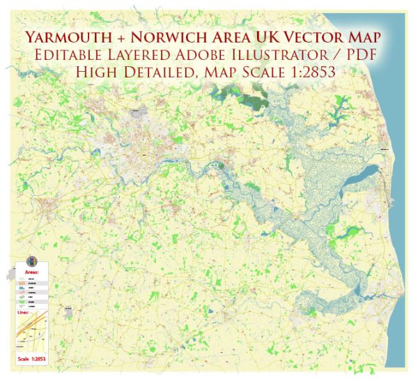
A general overview of Yarmouth and Norwich in the UK, including principal waterways, bridges, and main streets. Vectormap.Net provide you with the most accurate and up-to-date vector maps in Adobe Illustrator, PDF and other formats, designed for editing and printing. Please read the vector map descriptions carefully.
Yarmouth:
Great Yarmouth is a coastal town in Norfolk, England, situated at the mouth of the River Yare. The town has a rich maritime history and is a popular seaside resort.
Principal Waterways:
- River Yare: The River Yare is a major waterway that flows through Great Yarmouth. It is an important navigational route for both commercial and recreational vessels.
Bridges:
- Haven Bridge: This swing bridge spans the River Yare and connects the two sides of Great Yarmouth. It allows for the passage of boats and ships.
Main Streets:
- Regent Road: A popular shopping street in Great Yarmouth, featuring a mix of shops, cafes, and attractions.
- Marine Parade: This street runs along the seafront and is lined with attractions, amusement arcades, and seaside entertainment.
Norwich:
Norwich is the county town of Norfolk and is known for its historic architecture, vibrant cultural scene, and the River Wensum running through it.
Principal Waterways:
- River Wensum: The River Wensum flows through the heart of Norwich, offering scenic views and recreational opportunities.
Bridges:
- Pulls Ferry: While not a vehicular bridge, Pulls Ferry is a historic watergate on the River Wensum. It is a picturesque spot and a popular landmark.
Main Streets:
- Prince of Wales Road: Known for its nightlife, this street is lined with bars, clubs, and restaurants.
- St. Giles Street: A charming street with independent shops, cafes, and historic architecture.
- Magdalen Street: Offers a mix of shops, eateries, and is known for its antique stores.


 Author: Kirill Shrayber, Ph.D. FRGS