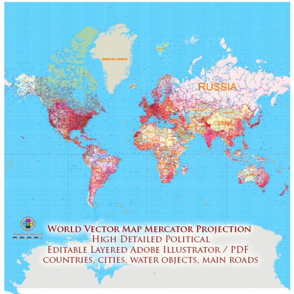
In air transport navigation, map projections play a crucial role in representing the Earth’s curved surface on flat charts or maps. The choice of a map projection depends on the specific requirements of air navigation, such as preserving distances, directions, or areas. Here are some common map projections used in air transport navigation:
- Mercator Projection:
- Properties: Conformal (preserves angles), cylindrical projection.
- Use: Despite significant distortions in size at higher latitudes, the Mercator projection is widely used in aviation for navigation charts. It preserves angles, making it valuable for plotting courses, measuring bearings, and maintaining accurate directions.
- Lambert Conformal Conic Projection:
- Properties: Conformal, conic projection.
- Use: Commonly used for aeronautical charts, especially for regional maps. It is suitable for areas with an east-west orientation, such as flight paths over continents.
- Stereographic Projection:
- Properties: Conformal, azimuthal projection.
- Use: Suitable for polar routes, as it minimizes distortion near the point of projection. It is often used for navigation charts in polar regions.
- Azimuthal Equidistant Projection:
- Properties: Equidistant from a central point, azimuthal projection.
- Use: Valuable for planning great-circle routes, as it preserves distances accurately from the central point. It is often used for long-range navigation charts, especially for polar routes.
- Winkel Tripel Projection:
- Properties: Pseudocylindrical projection with a compromise between area, distance, and direction.
- Use: While not as common in aviation as some other projections, the Winkel Tripel is used in world maps that aim for a balance between different types of distortion.
- Gnomonic Projection:
- Properties: Azimuthal projection that represents great circles as straight lines.
- Use: Used for planning short-distance, great-circle routes. It is suitable for navigation over relatively small areas, such as oceanic and polar routes.
It’s important to note that the choice of projection depends on the specific requirements of the navigation task, the region covered by the chart, and the trade-offs between different types of distortion. In modern aviation, digital navigation systems and tools often account for these distortions, providing accurate representations for pilots.
Vectormap.Net provide you with the most accurate and up-to-date vector maps in Adobe Illustrator, PDF and other formats, designed for editing and printing. Please read the vector map descriptions carefully.


 Author: Kirill Shrayber, Ph.D. FRGS