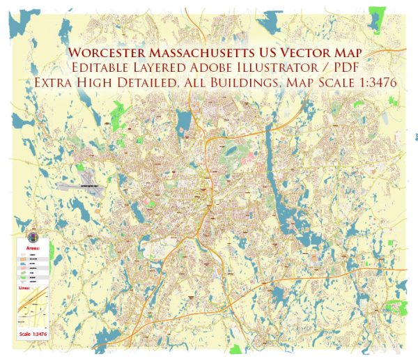
Worcester, Massachusetts, is a city with a rich history and a network of waterways, bridges, and main streets. Vectormap.Net provide you with the most accurate and up-to-date vector maps in Adobe Illustrator, PDF and other formats, designed for editing and printing. Please read the vector map descriptions carefully. Here is a general description of the principal waterways, bridges, and main streets in Worcester:
Waterways:
- Blackstone River:
- The Blackstone River flows through Worcester, providing a significant waterway. It is part of the larger Blackstone River Valley, historically important for its role in the Industrial Revolution.
- Mill Brook:
- Mill Brook is another watercourse that runs through the city, contributing to Worcester’s geography.
Bridges:
- Burncoat Street Bridge:
- Located in the northern part of Worcester, the Burncoat Street Bridge spans one of the waterways, providing a crucial connection.
- Kelley Square:
- Not a traditional bridge, but Kelley Square is a unique and often challenging intersection that has been a defining feature of Worcester. It has undergone redevelopment efforts to improve traffic flow.
Main Streets:
- Main Street:
- Main Street is a central thoroughfare in Worcester, hosting a mix of businesses, shops, and restaurants. It is often considered the heart of the city.
- Shrewsbury Street:
- Known for its vibrant restaurant scene, Shrewsbury Street is a popular destination for dining and entertainment.
- Park Avenue:
- Park Avenue is a major north-south artery, known for its residential neighborhoods, schools, and commercial establishments.
- Lincoln Street:
- Running through different parts of Worcester, Lincoln Street serves as a connector for various neighborhoods and commercial areas.
- Highland Street:
- This street runs through the Highland neighborhood and is known for its historical architecture and cultural institutions.
- Chandler Street:
- Chandler Street is another significant thoroughfare, hosting a mix of residential and commercial spaces.
It’s important to note that Worcester has seen ongoing development initiatives, so the city’s infrastructure may have evolved. For the latest and most accurate information, consider checking with local authorities or updated maps of the city.


 Author: Kirill Shrayber, Ph.D. FRGS