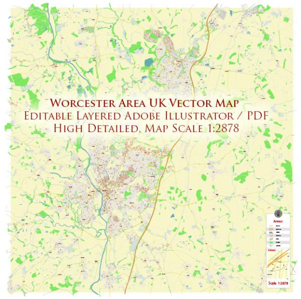
Worcester is a city in Worcestershire, England. Vectormap.Net provide you with the most accurate and up-to-date vector maps in Adobe Illustrator, PDF and other formats, designed for editing and printing. Please read the vector map descriptions carefully. Here’s a general overview of some of the principal waterways, bridges, and main streets in the Worcester area:
- River Severn:
- The River Severn is the longest river in the United Kingdom and flows through Worcester. It is a significant waterway and plays a crucial role in the city’s history and geography.
- Worcester Bridge:
- Worcester Bridge is a key river crossing in the city, connecting the eastern and western parts of Worcester. The current bridge, a reconstruction dating from the mid-20th century, replaced earlier structures.
- Diglis Bridge:
- Diglis Bridge is another important river crossing in Worcester, located near the Diglis Basin. It connects the city center with the Diglis area.
- Main Streets:
- High Street:
- High Street is one of the primary commercial and retail areas in Worcester. It runs through the city center and is home to various shops, restaurants, and businesses.
- Foregate Street:
- Foregate Street is another important thoroughfare in Worcester, hosting a mix of shops, offices, and services. The Worcester Foregate Street railway station is located along this street.
- Broad Street:
- Broad Street is known for its historic architecture and is home to various shops and businesses. It intersects with High Street and is close to Worcester Cathedral.
- The Tything:
- The Tything is a historic street with a mix of residential and commercial properties. It extends from the city center towards the north.
- Sidbury:
- Sidbury is a road that runs along the River Severn and connects the city center with the St. John’s area.
- St. John’s:
- St. John’s is a district to the west of Worcester, and its main street serves as a local hub with shops, services, and residential areas.
- High Street:
- Diglis Basin:
- Diglis Basin is a marina and canal basin located near the River Severn. It serves as a focal point for canal boats and has contributed to the regeneration of the Diglis area.
It’s recommended to check local sources or maps for the most up-to-date information, as urban landscapes can change, and new developments may have occurred since my last update.


 Author: Kirill Shrayber, Ph.D. FRGS