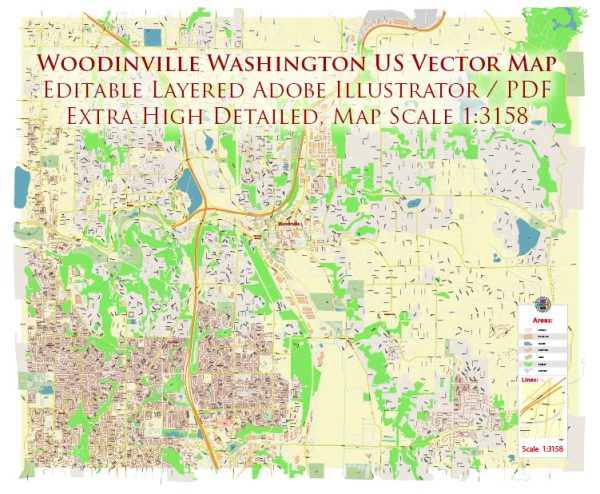
A general overview of the principal waterways, bridges, and main streets in Woodinville, Washington. Vectormap.Net provide you with the most accurate and up-to-date vector maps in Adobe Illustrator, PDF and other formats, designed for editing and printing. Please read the vector map descriptions carefully.
Principal Waterways:
- Sammamish River: The Sammamish River flows through Woodinville and is a significant waterway in the region. It is a tributary of Lake Washington and is known for its scenic beauty.
Bridges:
- Woodinville-Redmond Road Bridge: This bridge spans the Sammamish River and connects Woodinville to the neighboring city of Redmond.
Main Streets:
- Woodinville-Duvall Road: This road runs through Woodinville and is a major east-west route in the area.
- NE 175th Street: Another important east-west street in Woodinville.
- 136th Avenue NE: This street runs north-south and provides access to various neighborhoods and businesses in the area.
- 142nd Avenue NE: Another north-south street in Woodinville.
- 136th Place NE: This is a residential street in Woodinville.
It’s important to note that Woodinville is known for its wineries, breweries, and a mix of residential and commercial areas. The road network is designed to accommodate both local traffic and visitors to the numerous attractions in the region.
For the most current and detailed information about the waterways, bridges, and streets in Woodinville, it’s recommended to check with the city’s official website, local government sources, or a recent map of the area.


 Author: Kirill Shrayber, Ph.D. FRGS