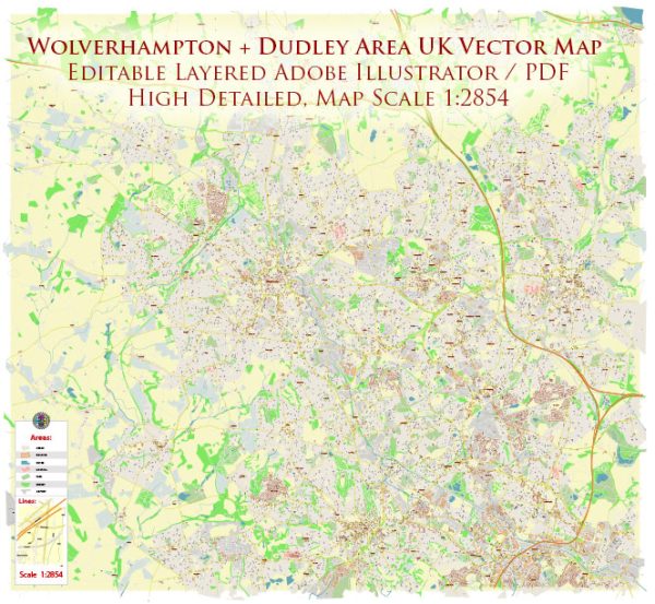
Wolverhampton and Dudley’s principal waterways, bridges, and main streets, a general overview based on common features of such cities in the UK. Vectormap.Net provide you with the most accurate and up-to-date vector maps in Adobe Illustrator, PDF and other formats, designed for editing and printing. Please read the vector map descriptions carefully.
Wolverhampton:
Waterways:
- Wolverhampton Canal: Wolverhampton is historically known for its canals, and the Wolverhampton Canal is a notable waterway in the city. Canals played a significant role in the industrial history of the region.
Bridges:
- Broad Street Bridge: This is one of the bridges over the Wolverhampton Canal, connecting key areas in the city.
Main Streets:
- Queen Street: A major thoroughfare in Wolverhampton, likely hosting shops, restaurants, and other businesses.
- Lichfield Street: Another important street in the city center with commercial and cultural establishments.
Dudley:
Waterways:
- Dudley Canal: Similar to Wolverhampton, Dudley has a canal system that played a vital role during the industrial era.
Bridges:
- Castle Bridge: Over the Dudley Canal, possibly near Dudley Castle, a historic site in the town.
Main Streets:
- High Street: As with many UK towns, High Street is often a central hub for shopping and social activities.
- Stone Street: Another potential major street in Dudley, featuring various amenities.
For the most accurate and current information, I recommend checking with local authorities, city planning departments, or online maps.


 Author: Kirill Shrayber, Ph.D. FRGS