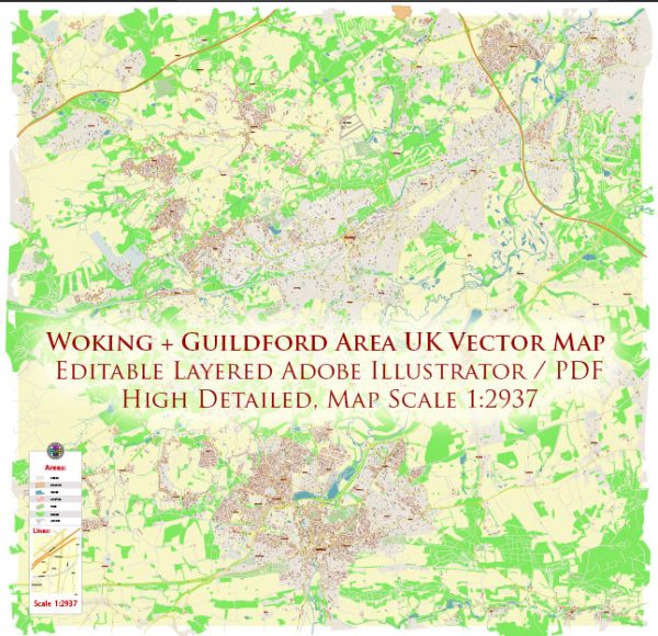
A general description of the principal waterways, bridges, and main streets in the Woking and Guildford areas in the United Kingdom. Vectormap.Net provide you with the most accurate and up-to-date vector maps in Adobe Illustrator, PDF and other formats, designed for editing and printing. Please read the vector map descriptions carefully.
Woking:
- Basingstoke Canal: The Basingstoke Canal runs through Woking, providing a scenic waterway. It’s a popular spot for leisure activities such as walking and boating.
- Victoria Way: This is one of the main streets in Woking, known for its shops, restaurants, and cultural attractions.
- Woking Town Bridge: Woking has several bridges crossing the Basingstoke Canal, with the Town Bridge being one of the notable ones.
Guildford:
- River Wey: Guildford is situated along the banks of the River Wey. The river is navigable and adds to the picturesque setting of the town.
- Guildford High Street: This is one of the main streets in Guildford, lined with a variety of shops, cafes, and historic buildings.
- Millmead Lock: Located on the River Wey, Millmead Lock is part of the navigation system that allows boats to travel through Guildford.
- Stoke Bridge: This is one of the bridges over the River Wey in Guildford, providing a connection between different parts of the town.
- Guildford Castle: While not a waterway or bridge, Guildford Castle is a historic landmark in the town and provides panoramic views of the surrounding area.
For the most up-to-date information on waterways, bridges, and main streets in Woking and Guildford, it’s recommended to check with local authorities or consult recent maps and guides specific to these areas. Local government websites and tourism information centers are good resources for current details on infrastructure and landmarks.


 Author: Kirill Shrayber, Ph.D. FRGS