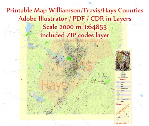
Williamson, Travis, and Hays Counties in Texas, a general overview based on historical data, but please verify this information with current sources.
Vectormap.Net provide you with the most accurate and up-to-date vector maps in Adobe Illustrator, PDF and other formats, designed for editing and printing. Please read the vector map descriptions carefully.
Williamson County, Texas:
- Principal Waterways: The San Gabriel River is a significant waterway in Williamson County, flowing through Georgetown. Other smaller creeks and rivers may also be present.
- Bridges: Key bridges in Williamson County include those that span the San Gabriel River and its tributaries. The names and locations of these bridges may vary.
- Main Streets and Roads: Some major roads in Williamson County include Interstate 35, State Highway 29, and State Highway 130. In cities like Round Rock and Georgetown, downtown areas may have well-known main streets.
Travis County, Texas:
- Principal Waterways: The Colorado River is a major waterway that flows through Travis County, including through the city of Austin. Lady Bird Lake, created by the Longhorn Dam on the Colorado River, is also significant.
- Bridges: Prominent bridges include those crossing the Colorado River in Austin, such as the Ann W. Richards Congress Avenue Bridge and the Pennybacker Bridge.
- Main Streets and Roads: Interstate 35 runs through Travis County, including Austin. Other major roads include Mopac Expressway (Loop 1), US Highway 183, and State Highway 71. In Austin, Congress Avenue and South Congress Avenue are notable streets.
Hays County, Texas:
- Principal Waterways: The Blanco River and the San Marcos River are important waterways in Hays County.
- Bridges: Bridges over the Blanco River and San Marcos River are critical for transportation in the county. Specific bridge names and locations may need verification.
- Main Streets and Roads: Interstate 35 traverses through Hays County. State Highway 123 and Ranch Road 12 are also significant roads. In cities like San Marcos, downtown areas may have well-known streets.
For the most accurate and current information, please consult local government websites, maps, or contact relevant county authorities in Williamson, Travis, and Hays Counties.


 Author: Kirill Shrayber, Ph.D. FRGS