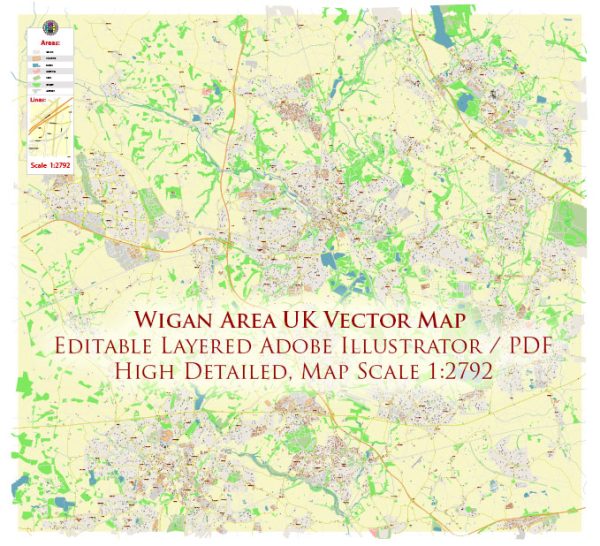
A general overview of the waterways, bridges, and main streets in the Wigan area, UK. Vectormap.Net provide you with the most accurate and up-to-date vector maps in Adobe Illustrator, PDF and other formats, designed for editing and printing. Please read the vector map descriptions carefully.
Waterways:
- Leeds and Liverpool Canal: The canal passes through Wigan and is a prominent waterway in the area. It has historical significance and offers scenic views.
Bridges:
- Trencherfield Mill Footbridge: This is a notable footbridge in Wigan, providing a crossing over the Leeds and Liverpool Canal.
- The Orwell Footbridge: Another pedestrian bridge spanning the Leeds and Liverpool Canal, offering connectivity in the town.
Main Streets:
- Market Street: This is one of the main shopping streets in Wigan, lined with shops, restaurants, and businesses. It’s often bustling with activity, especially during market days.
- Wallgate: Wallgate is another significant street in Wigan, hosting various shops, pubs, and restaurants. It connects the town center with the Wallgate railway station.
- Library Street: This street is close to Wigan’s central library and is part of the town’s commercial and cultural hub.
- Standishgate: Running through the heart of Wigan, Standishgate is a major thoroughfare with a mix of retail and entertainment establishments.
- Pottery Road: This road is in the Ince-in-Makerfield area and is known for its industrial significance.
Please keep in mind that developments may have occurred since my last update, and I recommend checking with local sources or the Wigan Borough Council for the latest information on waterways, bridges, and main streets in the area.


 Author: Kirill Shrayber, Ph.D. FRGS