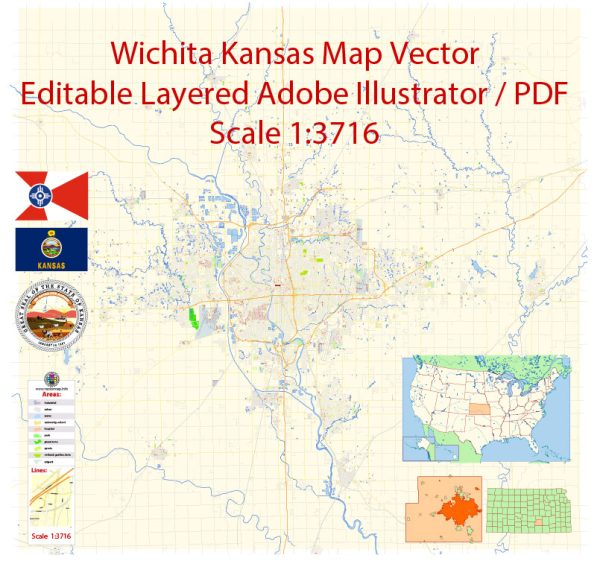
Wichita, Kansas is not situated on a major river, so it doesn’t have a principal waterway like some other cities with waterfronts. However, it has several smaller water bodies, including the Arkansas River, which flows just to the south of the city.
Bridges:
- Arkansas River Bridges: Wichita has several bridges spanning the Arkansas River, connecting different parts of the city. Examples include the Lewis Street Bridge, 13th Street Bridge, and Kellogg Avenue Bridge.
Main Streets:
- Douglas Avenue: This is one of the primary east-west thoroughfares in Wichita and is known for its commercial activity, shops, and restaurants.
- Kellogg Avenue (U.S. Route 54): Also known as Kellogg, this is a major east-west highway that runs through Wichita and is a significant transportation route.
- Rock Road: A major north-south thoroughfare with various commercial and retail establishments.
Wichita has an extensive road network, and several streets contribute to its overall transportation system.
Vectormap.Net provide you with the most accurate and up-to-date vector maps in Adobe Illustrator, PDF and other formats, designed for editing and printing. Please read the vector map descriptions carefully.


 Author: Kirill Shrayber, Ph.D. FRGS