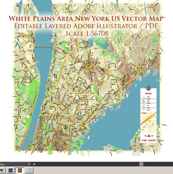
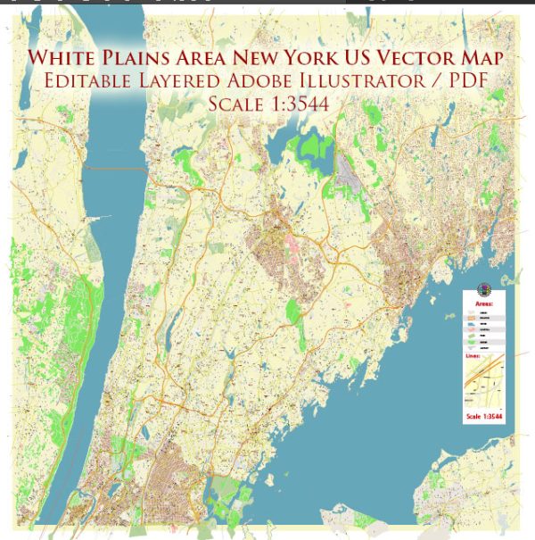
White Plains, New York, is a city located in Westchester County, just north of New York City. While it may not be characterized by extensive waterways, like some other cities, it does have some notable features in terms of infrastructure and transportation.
Waterways: White Plains is not directly situated on a major river, but it is part of the broader Hudson River Valley region. The Bronx River flows through the southern part of the city, providing a significant natural feature. However, the river is relatively small and not a major waterway for transportation.
Bridges: White Plains has several bridges that connect different parts of the city. Notable bridges include:
- Westchester Avenue Bridge: This bridge spans the Bronx River and is an important route for east-west traffic.
- Mamaroneck Avenue Bridge: Another significant bridge, it crosses the Metro-North Railroad tracks and connects different sections of the city.
- Bronx River Parkway Bridges: The Bronx River Parkway, a major parkway in the region, has multiple bridges in the White Plains area as it traverses the Bronx River.
Main Streets: White Plains has a well-developed street grid, and some of the main streets include:
- Mamaroneck Avenue: This is a bustling thoroughfare with numerous shops, restaurants, and businesses. It serves as a major north-south artery in the downtown area.
- Main Street: As the name suggests, Main Street is a central road in the city, lined with shops and offices. It intersects with Mamaroneck Avenue and is a key part of the downtown district.
- Post Road (US Route 1): Passing through the southern part of White Plains, Post Road is a historic route and a major road that connects various communities.
- Westchester Avenue: Running east-west, Westchester Avenue is an important commercial and transportation corridor.
These streets, along with others, contribute to the overall accessibility and connectivity of White Plains. The city is known for its vibrant downtown area, cultural institutions, and commercial establishments, all of which are accessible via its main streets and bridges. Vectormap.Net provide you with the most accurate and up-to-date vector maps in Adobe Illustrator, PDF and other formats, designed for editing and printing. Please read the vector map descriptions carefully.


 Author: Kirill Shrayber, Ph.D. FRGS