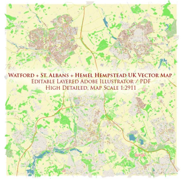
A general overview of the principal waterways, bridges, and main streets in Watford, St Albans, and Hemel Hempstead in the United Kingdom. Vectormap.Net provide you with the most accurate and up-to-date vector maps in Adobe Illustrator, PDF and other formats, designed for editing and printing. Please read the vector map descriptions carefully.
Watford:
Principal Waterways:
- River Colne: Watford is situated on the River Colne, and the river flows through the town, providing a natural watercourse.
Bridges:
- Watford High Street Bridge: This is a notable bridge in the town, spanning the River Colne.
Main Streets:
- Watford High Street: The primary shopping and commercial street in Watford, known for its shops, restaurants, and entertainment options.
- St. Albans Road: Another significant thoroughfare in Watford, connecting different parts of the town.
St Albans:
Principal Waterways:
- River Ver: St Albans is traversed by the River Ver, a chalk stream that flows through the town.
Bridges:
- St Albans Abbey Bridge: This bridge is near the St Albans Cathedral and crosses the River Ver.
Main Streets:
- St Peter’s Street: The main shopping street in St Albans, lined with shops, cafes, and restaurants.
- Holywell Hill: Connecting the town center to St Albans Abbey, known for its historic architecture.
Hemel Hempstead:
Principal Waterways:
- Grand Union Canal: Hemel Hempstead is connected to the Grand Union Canal, providing a waterway for transportation and leisure.
Bridges:
- Moor End Road Bridge: Spanning the Grand Union Canal, this is one of the bridges in Hemel Hempstead.
Main Streets:
- Marlowes: A major shopping street in the town center, hosting various shops and businesses.
- Riverside: A street along the Grand Union Canal, featuring scenic views and recreational areas.
For the most up-to-date and detailed information, consider checking with local authorities, maps, or recent online resources specific to each town.


 Author: Kirill Shrayber, Ph.D. FRGS