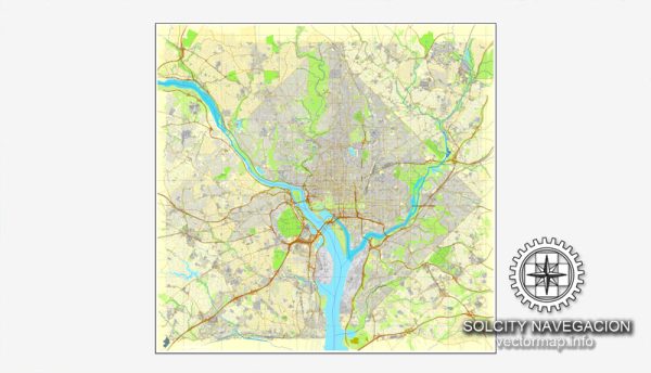
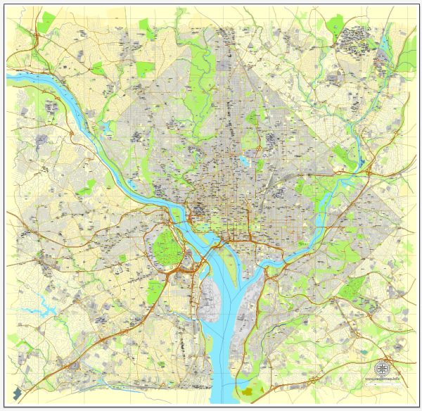
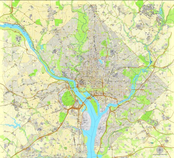
Washington, D.C., the capital of the United States, is located on the east bank of the Potomac River. The city is known for its iconic landmarks, government buildings, and well-planned layout. Here is a brief description of some principal waterways, bridges, and main streets and roads in Washington, D.C.:
- Potomac River:
- The Potomac River flows along the western edge of Washington, D.C., separating the city from Virginia. It is a significant waterway in the region and plays a crucial role in the city’s geography.
- Anacostia River:
- The Anacostia River is another important waterway in the city, flowing through the eastern part of the District. The Anacostia Riverwalk Trail provides scenic views and recreational opportunities along the river.
- Key Bridges:
- Francis Scott Key Bridge: This bridge spans the Potomac River, connecting Georgetown in Washington, D.C., to Rosslyn in Virginia. It is a picturesque bridge with views of the Georgetown waterfront.
- Anacostia River Bridge (John Philip Sousa Bridge): Connecting Capitol Hill with Anacostia, this bridge is a major crossing over the Anacostia River.
- Main Streets and Roads:
- Constitution Avenue: This major east-west avenue runs through the National Mall, lined with museums and monuments. It is a central route for many parades and events.
- Independence Avenue: Parallel to Constitution Avenue, Independence Avenue also runs through the National Mall, hosting several Smithsonian museums and other cultural institutions.
- Pennsylvania Avenue: Connecting the Capitol and the White House, Pennsylvania Avenue is known for its historical significance. It is often the route for presidential parades.
- Rock Creek Parkway: Running along the western side of Rock Creek Park, this parkway provides a scenic route with greenery and is often used for recreational activities.
- 16th Street NW: Extending from the White House to Silver Spring, Maryland, 16th Street is a major north-south artery.
- K Street NW: Known for its association with the business and lobbying sector, K Street is a prominent street running through downtown Washington, D.C.
- U Street NW: Historically significant for its role in African American culture and jazz music, U Street is home to various entertainment venues, restaurants, and historic sites.
These are just a few examples of the principal waterways, bridges, and main streets and roads in Washington, D.C. The city is designed on a grid system, making it relatively easy to navigate, and it is rich in history and culture.
Vectormap.Net provide you with the most accurate and up-to-date vector maps in Adobe Illustrator, PDF and other formats, designed for editing and printing. Please read the vector map descriptions carefully.


 Author: Kirill Shrayber, Ph.D.