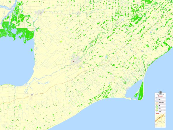
Some general information about Wallaceburg and Chatham in Ontario, Canada. Vectormap.Net provide you with the most accurate and up-to-date vector maps in Adobe Illustrator, PDF and other formats, designed for editing and printing. Please read the vector map descriptions carefully.
Wallaceburg:
Waterways:
- Sydenham River: Wallaceburg is situated along the Sydenham River, and it has played a significant role in the town’s development.
Bridges:
- Wallaceburg Bridge: This bridge spans the Sydenham River and connects different parts of Wallaceburg.
Main Streets:
- James Street: One of the main streets in Wallaceburg, likely hosting local businesses and services.
Chatham:
Waterways:
- Thames River: Chatham is located on the Thames River, which has historically been an essential waterway for transportation and industry.
Bridges:
- Third Street Bridge: This bridge crosses the Thames River and connects Chatham’s downtown area.
Main Streets:
- King Street: King Street is one of the primary streets in downtown Chatham, known for its shops, restaurants, and historic buildings.
Please verify this information with local sources or updated maps, as changes may have occurred after my last update in January 2022. Additionally, you may want to check with local authorities or online resources for the most current details on waterways, bridges, and main streets in Wallaceburg and Chatham, Ontario.


 Author: Kirill Shrayber, Ph.D.