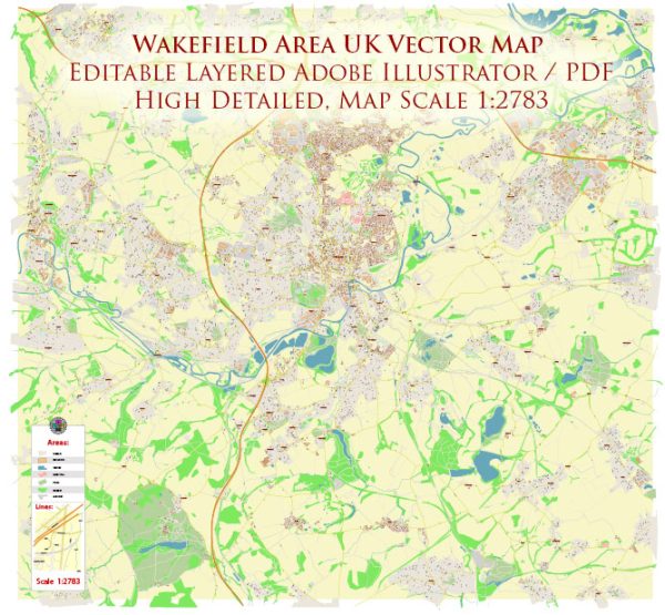
The Wakefield area in the UK is situated in West Yorkshire and is known for its rich history and diverse urban and rural landscapes. Vectormap.Net provide you with the most accurate and up-to-date vector maps in Adobe Illustrator, PDF and other formats, designed for editing and printing. Please read the vector map descriptions carefully.
Principal Waterways:
- River Calder: The River Calder flows through Wakefield and is a significant watercourse in the region. It contributes to the local landscape and provides recreational opportunities.
- Aire and Calder Navigation: This is a canalized section of the River Aire and River Calder. It has played a vital role in the transportation of goods in the past and continues to be a notable waterway.
Bridges:
- Chantry Bridge: This historic bridge crosses the River Calder in Wakefield. It’s a prominent landmark and an important transportation link.
- The Rhubarb Bridge: This pedestrian and cycle bridge spans the River Calder, connecting the city center to the Thornes area. It is distinctive for its unique design.
Main Streets and Roads:
- Westgate: This is one of the main streets in Wakefield’s city center, known for its shops, businesses, and historical architecture.
- Kirkgate: Another key street in Wakefield, Kirkgate is home to various shops, restaurants, and cultural attractions.
- Doncaster Road: Connecting Wakefield to nearby towns, Doncaster Road is an important thoroughfare for both local traffic and commuting.
- Ings Road: This road runs along the eastern side of the city and provides access to residential areas and local amenities.
- Dewsbury Road: Heading south from Wakefield, Dewsbury Road is a major route connecting Wakefield to Dewsbury and beyond.
It’s essential to consult local maps, traffic updates, and official sources for the most accurate and current information on waterways, bridges, streets, and roads in the Wakefield area. Local authorities and transportation agencies often provide detailed maps and updates for residents and visitors.


 Author: Kirill Shrayber, Ph.D.