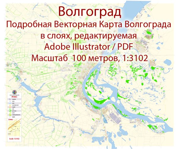
A general information about Volgograd, Russia, including its principal waterways, bridges, and main streets. Vectormap.Net provide you with the most accurate and up-to-date vector maps in Adobe Illustrator, PDF and other formats, designed for editing and printing. Please read the vector map descriptions carefully.
1. Waterways:
- The city of Volgograd is situated along the western bank of the Volga River, one of the longest rivers in Europe. The Volga River plays a significant role in the region’s transportation and economy. It is an essential waterway for shipping and navigation.
2. Bridges:
- There are several bridges in Volgograd that span the Volga River and connect different parts of the city. One of the notable bridges is the Volgograd Bridge, also known as the “Heroes of Stalingrad” bridge. This bridge has historical significance and is a prominent landmark in the city.
3. Main Streets:
- Prospekt Lenina (Lenin Avenue): This is one of the central streets in Volgograd, running through the heart of the city. It is lined with shops, cafes, and important buildings.
- Ulitsa Mira (Peace Street): Another significant street in Volgograd, Ulitsa Mira is known for its commercial activities and cultural landmarks.
- Ulitsa Karla Marksa (Karl Marx Street): This street is named after Karl Marx and is one of the main thoroughfares in the city.
These streets are not only important for transportation but also serve as centers for commerce, culture, and social activities in Volgograd.
Please note that the information provided is based on the situation as of January 2022, and there may have been changes or developments since then. If you need the most up-to-date information, it’s recommended to check with local sources or official city resources.


 Author: Kirill Shrayber, Ph.D. FRGS