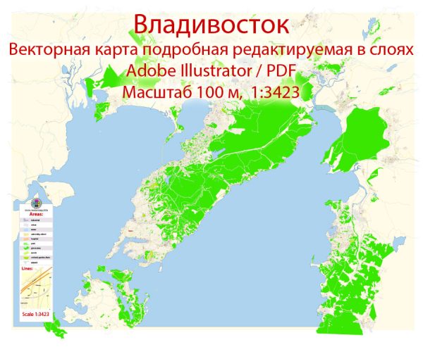
Vladivostok is a major port city in Russia, located near the country’s borders with China and North Korea. It is situated on the Golden Horn Bay off the Sea of Japan. The city’s landscape is characterized by hills and numerous bays, and it is known for its strategic importance as a transportation hub in the Russian Far East.
Vectormap.Net provide you with the most accurate and up-to-date vector maps in Adobe Illustrator, PDF and other formats, designed for editing and printing. Please read the vector map descriptions carefully.
Waterways: The main waterway in Vladivostok is the Golden Horn Bay, which provides a natural harbor for the city. It is a deep and well-protected bay that has played a crucial role in the city’s maritime activities. Vladivostok’s waterfront is dotted with docks, piers, and shipyards, emphasizing its maritime significance.
Bridges: One of the notable bridges in Vladivostok is the Golden Bridge (Zolotoy Bridge). This cable-stayed bridge spans the Golden Horn Bay, connecting the city with Russky Island. Completed in 2012, the Golden Bridge is not only an engineering marvel but also a symbol of Vladivostok. It is illuminated at night, creating a stunning visual display.
Main Streets: Some of the main streets in Vladivostok include:
- Svetlanskaya Street: This is one of the central streets in Vladivostok and is considered the main thoroughfare. It runs along the waterfront and is lined with shops, restaurants, and historical buildings.
- Ocean Avenue (Alye Parusa): Located on Russky Island, this avenue is known for its scenic views of the ocean and the Golden Bridge. It is a popular destination for locals and tourists alike.
- Aleutskaya Street: Situated in the city center, Aleutskaya Street is known for its historic architecture and is home to various cultural institutions, shops, and cafes.
- Pogranichnaya Street: This street runs along the border between Russia and China, reflecting Vladivostok’s proximity to international borders and its role as a gateway to the Asia-Pacific region.
- Sportivnaya Harbor Promenade: While not a street in the traditional sense, this promenade along Sportivnaya Harbor offers scenic views of the waterfront and is a popular spot for leisurely walks.
Vladivostok’s layout is influenced by its geography, with streets winding along the hills and waterfront, providing residents and visitors with picturesque views of the surrounding landscape. The city’s infrastructure, including its waterways, bridges, and streets, contributes to its unique character as a major Russian port in the Far East.


 Author: Kirill Shrayber, Ph.D.