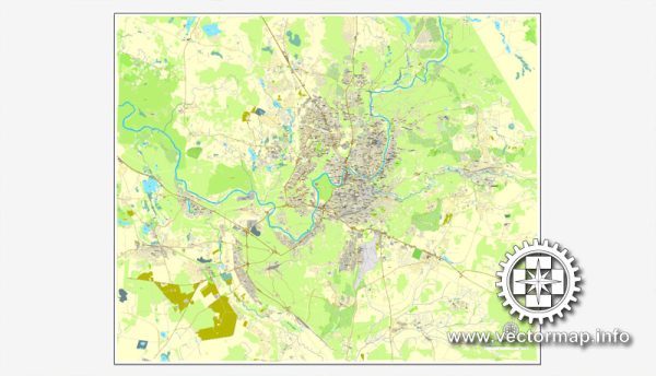
Illustrator Map Vilnius Lithuania

Illustrator Map — Vilnius Lithuania

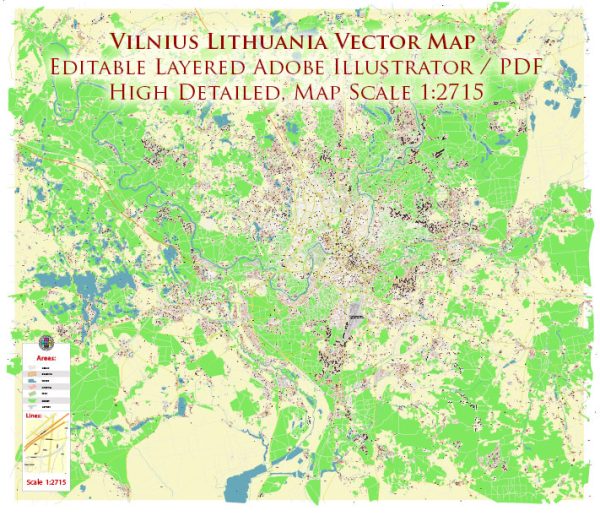
A clean Illustrator map of Vilnius Lithuania with named layers and consistent geometry for fast cartographic work. Bridges, tunnels and ferry lines are isolated so routes remain legible after recolor. Named layers let you restyle colors, line weights and label classes without cleanup passes. Waterfronts and parks receive extra separation for better contrast on light palettes. The file accepts custom grids, legends and callouts without redrawing base content. Crisp vectors preserve edges at high DPI and export compactly for web delivery.

Ideal for signage, event maps, campus leaflets and waterfront brochures. Use it for visitor guides, city infographics, investment decks and municipal communications. Color systems can be swapped quickly to match seasonal or brand variants. Reliable as a base layer; easy to adapt when projects or sponsors change. The map integrates neatly with common DTP and GIS workflows.

Vilnius, the capital of Lithuania, is not known for extensive waterways. The city is situated in a hilly landscape and is not bisected by major rivers like some other European cities. The Neris River flows near Vilnius, but it does not run through the city center. Instead, the Neris River flows to the north of the city.

However, Vilnius does have several bridges that span the Neris River and connect different parts of the city. One notable bridge is the Karallaus Mindaugo Bridge, which is located in the city center and provides a key link across the Neris River.

As for main streets, Vilnius features a network of streets and boulevards that wind through the historic Old Town and extend to the newer parts of the city. Gedimino Avenue is one of the main streets in Vilnius and serves as a central thoroughfare, lined with shops, restaurants, and important landmarks.

Vectormap.Net provide you with the most accurate and up-to-date vector maps in Adobe Illustrator, PDF and other formats, designed for editing and printing. Please read the vector map descriptions carefully.

Author: Kirill Shrayber, Ph.D.

I have been working with vector cartography for over 25 years, including GPS, GIS, Adobe Illustrator and other professional cartographic software.
Linkedin: https://www.linkedin.com/in/kirill-shrayber-0b839325/
Twitter: https://twitter.com/vectormapper

Are we missing some maps? Let us know!!!
What map do you need?

    We will upload it within the next 24 hours and notify you by Email.

    Menu