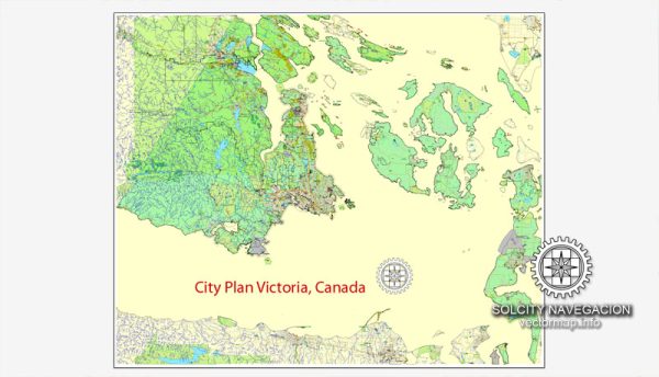
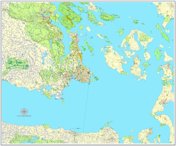
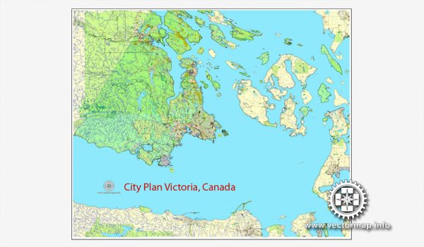
A general overview of the principal waterways, bridges, and main streets in Victoria, Canada. Vectormap.Net provide you with the most accurate and up-to-date vector maps in Adobe Illustrator, PDF and other formats, designed for editing and printing. Please read the vector map descriptions carefully.
Waterways:
- Inner Harbour: The Inner Harbour is a prominent water body in downtown Victoria, surrounded by historic buildings, shops, and restaurants. It is a hub for various recreational activities, including boating and seaplane tours.
- Gorge Waterway: This scenic waterway extends from Victoria’s Inner Harbour to the Selkirk Trestle. The Gorge Waterway Park along its shores provides walking and biking trails.
- Portage Inlet: Located northwest of downtown Victoria, Portage Inlet is another picturesque waterway surrounded by residential areas and parks.
Bridges:
- Johnson Street Bridge: This iconic blue bridge spans the Inner Harbour and connects downtown Victoria to the neighborhoods of Vic West.
- Selkirk Trestle: Originally a railway bridge, the Selkirk Trestle is now a pedestrian and cycling bridge crossing the Gorge Waterway, connecting Selkirk Water and Banfield Park.
- Point Ellice Bridge: Also known as the Bay Street Bridge, it spans the upper end of the Inner Harbour and connects downtown Victoria to the residential areas of James Bay and Fairfield.
Main Streets:
- Government Street: Government Street is one of the main streets in downtown Victoria, known for its historic architecture, shops, restaurants, and attractions such as the Royal BC Museum.
- Douglas Street: Running north-south through the city, Douglas Street is a major thoroughfare with a mix of retail, office buildings, and hotels. The street connects downtown Victoria with areas to the north.
- Fort Street: Fort Street is another significant street in downtown Victoria, lined with shops, galleries, and historic sites. It intersects with Government Street and extends eastward.
- Pandora Avenue: Pandora Avenue is known for its diverse range of businesses, including shops, cafes, and cultural establishments. It intersects with Government Street and runs east-west.
Please check more recent sources for the latest developments and changes in Victoria’s infrastructure and cityscape.


 Author: Kirill Shrayber, Ph.D.